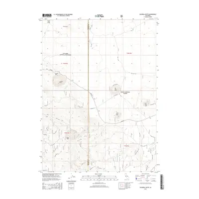
2015 Map of Caldwell Butte
USGS Topo · Published 2015About this map
The high volcanic plateau of the California-Oregon borderlands is defined here by the rugged cinder cones and basaltic flows of the Lava Beds National Monument. This 2015 survey illustrates the geologic complexity of the Modoc National Forest, where prominent features like Caldwell Butte, Cougar Butte, and the Three Sisters rise above the surrounding terrain. The map details the transition between Siskiyou and Modoc counties, following the Monument road through a landscape shaped by ancient eruptive activity.
Find a feature on this map
31 named features on this map. Tap any name to fly to it.
Don’t see what you’re looking for? This feature index may not catch every label — zoom into the map to look around manually.
Map Details
Editions of this 2015 Caldwell Butte Map
This is the sole edition of this map. No revisions or reprints were ever made.
Other maps of this area

1886 · Modoc Lava Bed
USGS Topo · 1:250,000

1892 · Modoc Lava-Bed
USGS Topo · 1:250,000

1950 · Mt. Dome
USGS Topo · 1:62,500

1951 · Tulelake
USGS Topo · 1:62,500

1952 · Timber Mountain
USGS Topo · 1:62,500

1952 · Medicine Lake
USGS Topo · 1:62,500

1954 · Alturas
USGS Topo · 1:250,000

1958 · Alturas
USGS Topo · 1:250,000

1962 · Alturas
USGS Topo · 1:250,000

1965 · Alturas
USGS Topo · 1:250,000