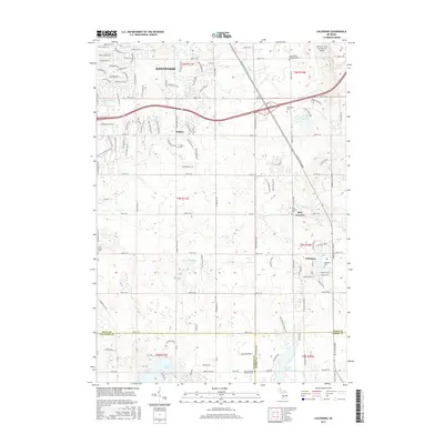
2017 Map of Caledonia
USGS Topo · Published 2017About this map
Kentwood and the neighboring community of Dutton anchor the northern portion of this map, reflecting the suburban expansion southeast of Grand Rapids. The landscape is dotted with significant local landmarks including Davenport Univ and the Gerald R. Ford International Airport, which occupies the northeast corner. This 2017 survey details a region where residential development meets established agricultural sites like Stanton Farms.
Find a feature on this map
131 named features on this map. Tap any name to fly to it.
Don’t see what you’re looking for? This feature index may not catch every label — zoom into the map to look around manually.
Map Details
Editions of this 2017 Caledonia Map
This is the sole edition of this map. No revisions or reprints were ever made.
Other maps of this area

1914 · Grand Rapids
USGS Topo · 1:62,500

1918 · Lowell
USGS Topo · 1:62,500

1943 · Grand Rapids
USGS Topo · 1:62,500

1943 · Lowell
USGS Topo · 1:62,500

1951 · Hastings
USGS Topo · 1:62,500

1958 · Grand Rapids
USGS Topo · 1:250,000

1959 · Wayland
USGS Topo · 1:62,500

1961 · Grand Rapids
USGS Topo · 1:250,000

1962 · Grand Rapids
USGS Topo · 1:250,000
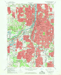
1967 · Grand Rapids West
USGS Topo · 1:24,000
Featured Places
- Kentwood, MI
- Gaines Charter Township, MI
- Cascade Charter Township, MI
- Caledonia, MI
- Thornapple Township, MI