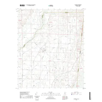
2018 Map of Caledonia
USGS Topo · Published 2018About this map
The town of Caledonia serves as the focal point of this Lowndes County landscape, situated near the winding course of the Buttahatchee River. This 2018 survey reveals a rural network of family-named roads and drainage systems, including Honoll Mill Cr and Mayhew Cr, which define the local topography. For genealogists and local historians, the map is a significant resource for identifying established burial grounds such as Egger Cem, Unity Cem, Rowan Cem, and the Military Chapel Cem. The area’s geography is further characterized by numerous small watercourses like Maple Br and Running Slu that feed into the larger river valley, reflecting the enduring rural character of this border region between Mississippi and Alabama.
Find a feature on this map
98 named features on this map. Tap any name to fly to it.
Don’t see what you’re looking for? This feature index may not catch every label — zoom into the map to look around manually.
Map Details
Editions of this 2018 Caledonia Map
This is the sole edition of this map. No revisions or reprints were ever made.
Other maps of this area

1953 · West Point
USGS Topo · 1:250,000

1958 · West Point
USGS Topo · 1:250,000

1960 · Caledonia
USGS Topo · 1:62,500

1963 · West Point
USGS Topo · 1:250,000

1966 · Amory SW
USGS Topo · 1:24,000

1966 · Amory SE
USGS Topo · 1:24,000

1967 · Sulligent SW
USGS Topo · 1:24,000

1967 · Millport NW
USGS Topo · 1:24,000

1967 · Fernbank
USGS Topo · 1:24,000

1982 · West Point
USGS Topo · 1:100,000