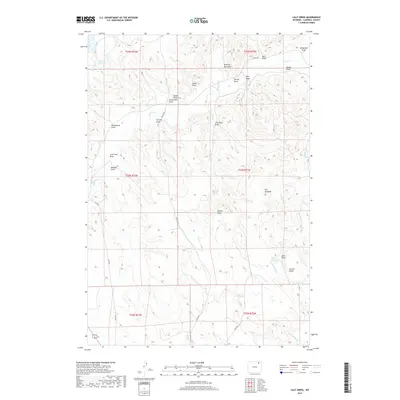
2017 Map of Calf Creek
USGS Topo · Published 2017About this map
Calf Creek and its many intermittent tributaries define this high plains landscape in Campbell County, Wyoming. The terrain is deeply etched by a network of drainage features named for local flora, families, and early activity, including Coal Mine Draw and Homestead Draw. These names provide a map of the land's historical utility, while a distinctive geological landmark known as The Rockpile stands out in the eastern portion of the quadrangle. Water management is critical in this arid ranching country, evidenced by scattered stock ponds and catchments such as Williams Reservoir, Tharp Reservoir, and Corner Reservoir. Remote county routes like Hall Road and Collins Road provide the only significant access through this section of the Powder River Basin, where the topography transitions between the headwaters of Wildcat Creek and Hay Creek.
Find a feature on this map
36 named features on this map. Tap any name to fly to it.
Don’t see what you’re looking for? This feature index may not catch every label — zoom into the map to look around manually.
Map Details
Editions of this 2017 Calf Creek Map
This is the sole edition of this map. No revisions or reprints were ever made.
Other maps of this area

1954 · Gillette
USGS Topo · 1:250,000

1955 · Gillette
USGS Topo · 1:250,000

1958 · Gillette
USGS Topo · 1:250,000

1962 · Gillette
USGS Topo · 1:250,000

1971 · Wildcat
USGS Topo · 1:24,000

1971 · Oriva NW
USGS Topo · 1:24,000
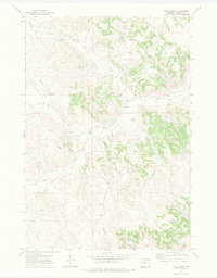
1971 · Pitch Draw
USGS Topo · 1:24,000

1971 · Recluse
USGS Topo · 1:24,000
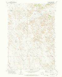
1971 · Calf Creek
USGS Topo · 1:24,000
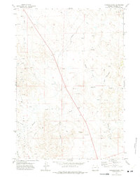
1971 · Rawhide School
USGS Topo · 1:24,000