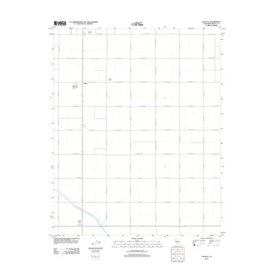
2012 Map of Calflax
USGS Topo · Published 2012About this map
Agricultural operations and irrigation infrastructure define this corner of the San Joaquin Valley during the early 2010s. The settlement of Calflax sits at the intersection of a rigid grid of ranch roads, including Lassen Ave and W Oakland Ave, which facilitate the movement of goods from large-scale farming entities like Diener Ranch, Calflax Ranch, and Pasajero Farm. This strictly organized landscape is enabled by the massive engineering of the Governor Edmund G Brown California Aqueduct, which cuts diagonally across the southern portion of the quadrangle. The presence of the West Side Field Station Airport suggests the critical role of aerial crop dusting and agricultural research in maintaining the productivity of this arid but highly managed environment.
Find a feature on this map
21 named features on this map. Tap any name to fly to it.
Don’t see what you’re looking for? This feature index may not catch every label — zoom into the map to look around manually.
Map Details
Editions of this 2012 Calflax Map
This is the sole edition of this map. No revisions or reprints were ever made.
Other maps of this area

1912 · Coalinga
USGS Topo · 1:125,000

1926 · Lethent
USGS Topo · 1:31,680

1927 · Burrel
USGS Topo · 1:31,680

1928 · Delta Farms No 3
USGS Topo · 1:31,680

1929 · Westhaven
USGS Topo · 1:31,680

1931 · Wheatville
USGS Topo · 1:31,680

1931 · Towne Oil Station
USGS Topo · 1:31,680

1932 · Delta Farms
USGS Topo · 1:31,680

1932 · West of Lethent
USGS Topo · 1:31,680

1933 · Huron
USGS Topo · 1:31,680