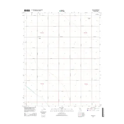
2015 Map of Calflax
USGS Topo · Published 2015About this map
Agricultural grids and massive water infrastructure define this portion of the San Joaquin Valley within the larger Central Valley of California. The landscape is structured by a rigid network of north-south and east-west thoroughfares, including S Madera Ave and W Oakland Ave, which serve the expansive farming parcels of the region. The small settlement of Calflax is situated at a major crossroads, representing the rural service points common in this part of Fresno County.
Find a feature on this map
25 named features on this map. Tap any name to fly to it.
Don’t see what you’re looking for? This feature index may not catch every label — zoom into the map to look around manually.
Map Details
Editions of this 2015 Calflax Map
This is the sole edition of this map. No revisions or reprints were ever made.
Other maps of this area

1912 · Coalinga
USGS Topo · 1:125,000

1926 · Lethent
USGS Topo · 1:31,680

1927 · Burrel
USGS Topo · 1:31,680

1928 · Delta Farms No 3
USGS Topo · 1:31,680

1929 · Westhaven
USGS Topo · 1:31,680

1931 · Wheatville
USGS Topo · 1:31,680

1931 · Towne Oil Station
USGS Topo · 1:31,680

1932 · Delta Farms
USGS Topo · 1:31,680

1932 · West of Lethent
USGS Topo · 1:31,680

1933 · Huron
USGS Topo · 1:31,680