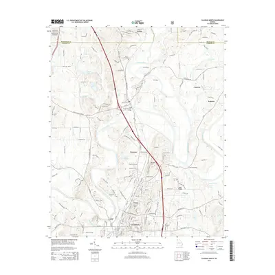
2014 Map of Calhoun North
USGS Topo · Published 2014About this map
The Oostanaula River snakes through this portion of Gordon County, serving as the central geographic feature where the Conasauga River and Coosawattee River converge. This 2014 survey documents the northern outskirts of Calhoun, a landscape defined by its river-bottom geography and deep historical markers. Of particular interest to local historians are the numerous burial sites, including the Resaca Confederate Cem in the north and the New Echota Cem further south, reflecting the area's complex 19th-century history.
Find a feature on this map
159 named features on this map. Tap any name to fly to it.
Don’t see what you’re looking for? This feature index may not catch every label — zoom into the map to look around manually.
Map Details
Editions of this 2014 Calhoun North Map
This is the sole edition of this map. No revisions or reprints were ever made.
Other maps of this area

1886 · Dalton
USGS Topo · 1:125,000

1886 · Ringgold
USGS Topo · 1:125,000

1886 · Rome
USGS Topo · 1:125,000

1890 · Cartersville
USGS Topo · 1:125,000

1891 · Cartersville
USGS Topo · 1:125,000

1892 · Ringgold
USGS Topo · 1:125,000

1892 · Dalton
USGS Topo · 1:125,000

1896 · Cartersville
USGS Topo · 1:125,000

1897 · Dalton
USGS Topo · 1:125,000

1898 · Rome
USGS Topo · 1:125,000