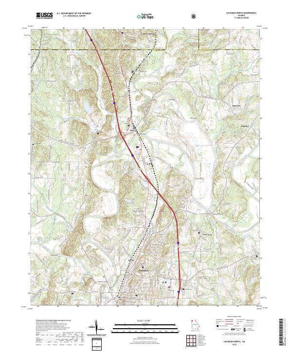
2024 Map of Calhoun North
USGS Topo · Published 2024About this map
The Oostanaula River and Conasauga River converge in this northern Georgia landscape, creating a complex network of waterways that defined early transport and settlement. Historically significant sites like the Resaca Confederate Cem and New Echota Cem reflect the region's deep and varied past. The city of Calhoun, serving as the seat of Gordon County, is anchored by the Gordon County Courthouse and its annex. The river-based economy of earlier eras is still evident through the placement of historical crossings like Fites Ferry, Lands Ferry, and Calhoun Ferry. Modern infrastructure, including I-75 and the CSX Transportation line, now parallels these traditional river routes. Smaller communities like Resaca, Angelville, and Soapstick are scattered throughout the quadrangle, illustrating the transition from rural crossroads to contemporary townships.
Find a feature on this map
53 named features on this map. Tap any name to fly to it.
Don’t see what you’re looking for? This feature index may not catch every label — zoom into the map to look around manually.
Map Details
Editions of this 2024 Calhoun North Map
This is the sole edition of this map. No revisions or reprints were ever made.
Other maps of this area

1886 · Dalton
USGS Topo · 1:125,000

1886 · Ringgold
USGS Topo · 1:125,000

1886 · Rome
USGS Topo · 1:125,000

1890 · Cartersville
USGS Topo · 1:125,000

1891 · Cartersville
USGS Topo · 1:125,000

1892 · Ringgold
USGS Topo · 1:125,000

1892 · Dalton
USGS Topo · 1:125,000

1896 · Cartersville
USGS Topo · 1:125,000

1897 · Dalton
USGS Topo · 1:125,000

1898 · Rome
USGS Topo · 1:125,000