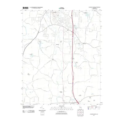
2011 Map of Calhoun South
USGS Topo · Published 2011About this map
Oothkalooga Creek serves as a primary drainage corridor through this portion of Gordon County, winding past the settlements of Lily Pond and McDaniels. The map captures a landscape transitioning from agricultural roots to modern infrastructure, where established family landmarks like the Pickard Family Cemetery and Poplar Springs Cemetery sit near newer developments. Transportation and aviation are prominent, with the Tom B David Field and Mercer Airfield located south of Calhoun. The northeastern corner is defined by several water bodies, including Amakanata Lake and Roberts Lake, while the western edge is bounded by the Oostanaula River. This 2011 survey provides a detailed look at the rural roads and historical cemeteries that define the area's local heritage, from the Oothkalooga Baptist Church Cemetery to the small community of Blackwood.
Find a feature on this map
93 named features on this map. Tap any name to fly to it.
Don’t see what you’re looking for? This feature index may not catch every label — zoom into the map to look around manually.
Map Details
Editions of this 2011 Calhoun South Map
This is the sole edition of this map. No revisions or reprints were ever made.
Other maps of this area

1886 · Dalton
USGS Topo · 1:125,000

1886 · Ringgold
USGS Topo · 1:125,000

1886 · Rome
USGS Topo · 1:125,000

1890 · Cartersville
USGS Topo · 1:125,000

1891 · Cartersville
USGS Topo · 1:125,000

1892 · Ringgold
USGS Topo · 1:125,000

1892 · Dalton
USGS Topo · 1:125,000

1896 · Cartersville
USGS Topo · 1:125,000

1897 · Dalton
USGS Topo · 1:125,000

1898 · Rome
USGS Topo · 1:125,000