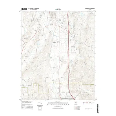
2017 Map of Calhoun South
USGS Topo · Published 2017About this map
Calhoun anchors this landscape in Northwest Georgia, situated where the Oostanaula River and Oothkalooga Cr shape the valley floor. The map highlights a transition from the dense street grids of the city south into the rural communities of McDaniels and Blackwood. Topography is defined by significant elevations such as John Gunn Mtn to the west and the prominent heights of Iron Mtn and Turkey Knob near the Bartow county line. This geography illustrates a mix of traditional agricultural land and modern infrastructure, including the Tom B David Field and the Interstate 75 corridor. Several historic congregation sites and burial grounds, such as the Oothkalooga Baptist Church Cem and Oak Grove Baptist Church Cem, are preserved here, offering clear points of reference for local family history and the cultural footprint of the Adairsville area.
Find a feature on this map
141 named features on this map. Tap any name to fly to it.
Don’t see what you’re looking for? This feature index may not catch every label — zoom into the map to look around manually.
Map Details
Editions of this 2017 Calhoun South Map
This is the sole edition of this map. No revisions or reprints were ever made.
Other maps of this area

1886 · Dalton
USGS Topo · 1:125,000

1886 · Ringgold
USGS Topo · 1:125,000

1886 · Rome
USGS Topo · 1:125,000

1890 · Cartersville
USGS Topo · 1:125,000

1891 · Cartersville
USGS Topo · 1:125,000

1892 · Ringgold
USGS Topo · 1:125,000

1892 · Dalton
USGS Topo · 1:125,000

1896 · Cartersville
USGS Topo · 1:125,000

1897 · Dalton
USGS Topo · 1:125,000

1898 · Rome
USGS Topo · 1:125,000