
1980 Map of Calico Butte
USGS Topo · Published 1980About this map
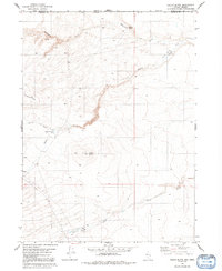
Calico Ranch and its associated Corral anchor the southern portion of this high-desert landscape where the border of Oregon and Nevada meets the line between Malheur and Humboldt Counties. This 1980 edition captures a remote grazing and water-resource network defined by numerous perennial sources, including Mahogany Spring, Willow Spring, and Calico Spring. The topography is dominated by the prominent Calico Butte and the long incline of Mahogany Ridge.
Find a feature on this map
19 named features on this map. Tap any name to fly to it.
Don’t see what you’re looking for? This feature index may not catch every label — zoom into the map to look around manually.
Map Details
Editions of this 1980 Calico Butte Map
2 editions found
Other maps of this area

1882 · Paradise
USGS Topo · 1:250,000

1893 · Paradise
USGS Topo · 1:250,000

1955 · McDermitt
USGS Topo · 1:250,000

1955 · Jordan Valley
USGS Topo · 1:250,000

1957 · Jordan Valley
USGS Topo · 1:250,000

1958 · Jordan Valley
USGS Topo · 1:250,000

1959 · McDermitt
USGS Topo · 1:250,000

1980 · Capitol Peak
USGS Topo · 1:24,000

1980 · Mahogany Spring
USGS Topo · 1:24,000
1980 · Maiden Butte
USGS Topo · 1:24,000