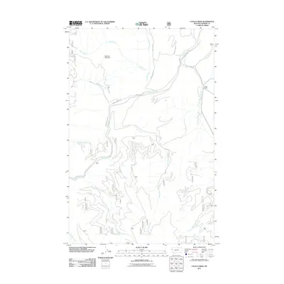
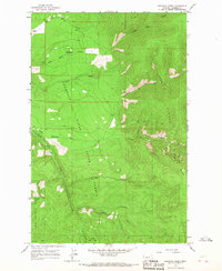
2011 Map of Calico Creek
USGS Topo · Published 2011About this map
Thompson River carves a central path through this section of Sanders County, defining a drainage system that includes Jungle Creek and Fishtrap Creek to the north. The landscape is dominated by significant elevation changes, anchored by Deerhorn Mountain and the prominent McCully Ridge. These landforms dictate the primitive road network, including Thompson River Rd and the Plum-Cr-Imbr County Rd, which trace the river valley and provide access to the interior.
Find a feature on this map
21 named features on this map. Tap any name to fly to it.
Don’t see what you’re looking for? This feature index may not catch every label — zoom into the map to look around manually.
Map Details
Editions of this 2011 Calico Creek Map
This is the sole edition of this map. No revisions or reprints were ever made.
Other maps of this area

1937 · Thompson Falls
USGS Topo · 1:125,000

1956 · Wallace
USGS Topo · 1:250,000

1960 · Wallace
USGS Topo · 1:250,000

1964 · Calico Creek
USGS Topo · 1:24,000

1964 · Eddy Mountain
USGS Topo · 1:24,000
1964 · Big Hole Peak
USGS Topo · 1:24,000
1964 · Priscilla Peak
USGS Topo · 1:24,000
1964 · Cook Mountain
USGS Topo · 1:24,000

1964 · Weeksville
USGS Topo · 1:24,000
1964 · Loneman Creek
USGS Topo · 1:24,000