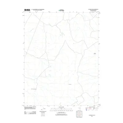
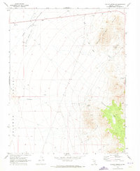
2012 Map of Caliente NW
USGS Topo · Published 2012About this map
The Burnt Springs Range anchors the southwestern quadrant of this high-desert landscape in Lincoln County. Water, though scarce, is the defining factor for human and animal activity in this arid terrain, as evidenced by a series of critical watering points such as Rabbit Spring, Cliff Springs, and Dana Spring. These names suggest the historical importance of these spots for livestock or travelers navigating the high desert north of Caliente. The drainage patterns are dominated by Porphyry Wash, which flows past the solitary Porphyry Spring. To the east, the topography is marked by significant landmarks like the Grey Dome and the deep incision of Antelope Canyon, illustrating a landscape of gradual erosion and dramatic elevation changes typical of the Great Basin region.
Find a feature on this map
8 named features on this map. Tap any name to fly to it.
Don’t see what you’re looking for? This feature index may not catch every label — zoom into the map to look around manually.
Map Details
Editions of this 2012 Caliente NW Map
This is the sole edition of this map. No revisions or reprints were ever made.
Other maps of this area

1885 · Pioche
USGS Topo · 1:250,000

1886 · Pioche
USGS Topo · 1:250,000

1916 · Highland
USGS Topo · 1:62,500

1918 · Highland
USGS Topo · 1:62,500

1954 · Caliente
USGS Topo · 1:250,000

1959 · Caliente
USGS Topo · 1:250,000
1970 · The Bluffs
USGS Topo · 1:24,000
1970 · Bennett Pass
USGS Topo · 1:24,000
1970 · Deadman Spring SE
USGS Topo · 1:24,000
1970 · Pahroc Spring SE
USGS Topo · 1:24,000