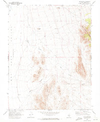
1970 Map of The Bluffs
USGS Topo · Published 1973About this map
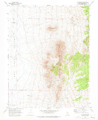
Robber Roost Hills and the Burnt Springs Range dominate this 1970 landscape, offering a window into the geological and ranching history of Lincoln County. The map details a transition from the elevated peaks of The Bluffs and the Black Canyon Range down to the low-lying Lake Valley (Depression) and Dry Lake. This arid terrain is defined by its drainage patterns, notably Coyote Wash and the convergent paths of Black Canyon and Monument Canyon. Small-scale human markers like a solitary Corral and scattered Water Tanks reflect the area's use for livestock in an environment where water is a scarce and managed resource. Prominent landmarks such as Stapely Knoll and Grey Knoll serve as critical navigation points across the rugged, trail-crossed desert.
Find a feature on this map
16 named features on this map. Tap any name to fly to it.
Don’t see what you’re looking for? This feature index may not catch every label — zoom into the map to look around manually.
Map Details
Editions of this 1970 The Bluffs Map
2 editions found
Other maps of this area

1885 · Pioche
USGS Topo · 1:250,000

1886 · Pioche
USGS Topo · 1:250,000

1916 · Highland
USGS Topo · 1:62,500

1918 · Highland
USGS Topo · 1:62,500

1953 · Highland Peak
USGS Topo · 1:24,000

1954 · Caliente
USGS Topo · 1:250,000

1959 · Caliente
USGS Topo · 1:250,000
1970 · Bennett Pass
USGS Topo · 1:24,000
1970 · Deadman Spring SE
USGS Topo · 1:24,000
1970 · Ely Springs
USGS Topo · 1:24,000