
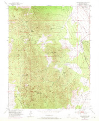
1953 Map of Highland Peak
USGS Topo · Published 1955About this map
Highland Peak towers over a landscape defined by intensive mining activity during the mid-twentieth century. The eastern slopes are etched with numerous workings including the Florence Mine, Hamburg Mine, and the Lucky Boy Shaft. Significant engineering feats such as the Manhattan Tunnel and X-Ray Tunnel penetrate the mountainside, while an Old Railroad Grade and the Union Pacific trackage trace the valley floor.
Find a feature on this map
57 named features on this map. Tap any name to fly to it.
Don’t see what you’re looking for? This feature index may not catch every label — zoom into the map to look around manually.
Map Details
Editions of this 1953 Highland Peak Map
2 editions found
Other maps of this area

1885 · Pioche
USGS Topo · 1:250,000

1886 · Pioche
USGS Topo · 1:250,000

1915 · Bristol Range
USGS Topo · 1:62,500

1916 · Highland
USGS Topo · 1:62,500

1917 · Bristol Range
USGS Topo · 1:62,500

1918 · Highland
USGS Topo · 1:62,500

1921 · NW 1/4 Panaca
USGS Topo · 1:48,000

1953 · Bristol Range SE
USGS Topo · 1:24,000

1953 · Pioche
USGS Topo · 1:24,000

1954 · Caliente
USGS Topo · 1:250,000