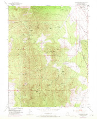
1953 Map of Highland Peak
USGS Topo · Published 1971About this map
The Highland Range and Bristol Range dominate this Nevada landscape, where the high peaks of Highland Peak and Arizona Peak look down on a complex network of mining operations. In the early 1950s, the terrain was dotted with active and historical extraction points including the Mendha Mine, Florence Mine, and the Highland Mary Mine. The map reveals a transition from these mountainous claims to the valley floor, where the Pioche Municipal Airport and the Union Pacific tracks define the transportation infrastructure.
Find a feature on this map
48 named features on this map. Tap any name to fly to it.
Don’t see what you’re looking for? This feature index may not catch every label — zoom into the map to look around manually.
Map Details
Editions of this 1953 Highland Peak Map
2 editions found
Other maps of this area

1885 · Pioche
USGS Topo · 1:250,000

1886 · Pioche
USGS Topo · 1:250,000

1915 · Bristol Range
USGS Topo · 1:62,500

1916 · Highland
USGS Topo · 1:62,500

1917 · Bristol Range
USGS Topo · 1:62,500

1918 · Highland
USGS Topo · 1:62,500

1921 · NW 1/4 Panaca
USGS Topo · 1:48,000

1953 · Highland Peak
USGS Topo · 1:24,000

1953 · Bristol Range SE
USGS Topo · 1:24,000

1953 · Pioche
USGS Topo · 1:24,000