
1915 Map of Bristol Range
USGS Topo · Published 1955About this map
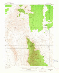
Bristol Mines and the Lucky Star Mine anchor this 1915 survey of the high desert landscape between the Bristol Range and the West Range. The industrial character of the era is defined by the Pioche Pacific (Narrow Gage) railroad, which snakes through the eastern foothills to serve mining settlements like Jackrabbit and Bristol. These mountain outposts relied on a critical network of isolated water sources such as Bristol Well, Wildhorse Bill Spring, and Little Piute Spring to sustain operations in the arid terrain.
Find a feature on this map
36 named features on this map. Tap any name to fly to it.
Don’t see what you’re looking for? This feature index may not catch every label — zoom into the map to look around manually.
Map Details
Editions of this 1915 Bristol Range Map
2 editions found
Other maps of this area

1885 · Pioche
USGS Topo · 1:250,000

1886 · Pioche
USGS Topo · 1:250,000

1916 · Highland
USGS Topo · 1:62,500

1917 · Bristol Range
USGS Topo · 1:62,500

1918 · Highland
USGS Topo · 1:62,500

1921 · NW 1/4 Panaca
USGS Topo · 1:48,000

1953 · Highland Peak
USGS Topo · 1:24,000

1953 · Bristol Range SE
USGS Topo · 1:24,000

1953 · Pioche
USGS Topo · 1:24,000

1954 · Caliente
USGS Topo · 1:250,000