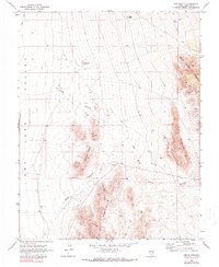
1970 Map of The Bluffs
USGS Topo · Published 1990About this map
Robber Roost Hills and the northern reaches of the Burnt Springs Range dominate this 1970 landscape, illustrating a classic Great Basin basin-and-range topography. The eastern edge of the Lake Valley and Dry Lake depressions occupy the western margin, where Coyote Wash channels occasional runoff. This area is characterized by isolated high points like Stapely Knoll and Grey Knoll, which rise above the expansive alluvial fans. Human presence is sparse, marked primarily by a Corral and a Water Tank supporting livestock. In the east, The Bluffs and the Black Canyon Range provide steep elevation changes, with several Jeep Trails and Jeep paths providing the only interior access through Dog Hollow and Monument Canyon.
Find a feature on this map
22 named features on this map. Tap any name to fly to it.
Don’t see what you’re looking for? This feature index may not catch every label — zoom into the map to look around manually.
Map Details
Editions of this 1970 The Bluffs Map
2 editions found
Other maps of this area

1885 · Pioche
USGS Topo · 1:250,000

1886 · Pioche
USGS Topo · 1:250,000

1916 · Highland
USGS Topo · 1:62,500

1918 · Highland
USGS Topo · 1:62,500

1953 · Highland Peak
USGS Topo · 1:24,000

1954 · Caliente
USGS Topo · 1:250,000

1959 · Caliente
USGS Topo · 1:250,000
1970 · The Bluffs
USGS Topo · 1:24,000
1970 · Bennett Pass
USGS Topo · 1:24,000
1970 · Deadman Spring SE
USGS Topo · 1:24,000