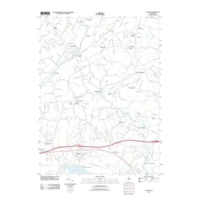
2011 Map of Califon
USGS Topo · Published 2011About this map
The South Branch Raritan River carves through the northern half of this landscape, anchoring a series of small settlements including Califon, Vernoy, and Lower Valley. To the south, the massive Round Valley Reservoir and its Round Valley North Dam dominate the terrain near Lebanon. The map preserves numerous genealogical sites, particularly in the village of Cokesbury, which features the Cokesbury Presbyterian Church Yard and the Mountain View Cemetery.
Find a feature on this map
196 named features on this map. Tap any name to fly to it.
Don’t see what you’re looking for? This feature index may not catch every label — zoom into the map to look around manually.
Map Details
Editions of this 2011 Califon Map
This is the sole edition of this map. No revisions or reprints were ever made.
Other maps of this area

1888 · Hackettstown
USGS Topo · 1:62,500

1888 · Lake Hopatcong
USGS Topo · 1:62,500

1890 · High Bridge
USGS Topo · 1:62,500

1891 · Somerville
USGS Topo · 1:62,500

1893 · Somerville
USGS Topo · 1:62,500

1894 · Hackettstown
USGS Topo · 1:62,500

1894 · Lake Hopatcong
USGS Topo · 1:62,500

1898 · Lake Hopatcong
USGS Topo · 1:62,500

1898 · Hackettstown
USGS Topo · 1:62,500

1898 · High Bridge
USGS Topo · 1:62,500