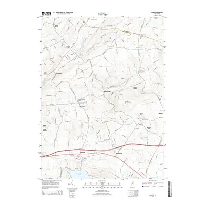
2014 Map of Califon
USGS Topo · Published 2014About this map
Califon sits along the South Branch Raritan River, anchoring a landscape defined by the transition from the Raritan valley into the highlands of the Morris and Hunterdon county line. The settlement pattern here reflects deep-rooted community foundations, with numerous religious and burial sites such as the Cokesbury Presbyterian Church Yard and Fairmount Methodist Church Yard serving as focal points for the surrounding hamlets of Cokesbury and Fairmount.
Find a feature on this map
189 named features on this map. Tap any name to fly to it.
Don’t see what you’re looking for? This feature index may not catch every label — zoom into the map to look around manually.
Map Details
Editions of this 2014 Califon Map
This is the sole edition of this map. No revisions or reprints were ever made.
Other maps of this area

1888 · Hackettstown
USGS Topo · 1:62,500

1888 · Lake Hopatcong
USGS Topo · 1:62,500

1890 · High Bridge
USGS Topo · 1:62,500

1891 · Somerville
USGS Topo · 1:62,500

1893 · Somerville
USGS Topo · 1:62,500

1894 · Hackettstown
USGS Topo · 1:62,500

1894 · Lake Hopatcong
USGS Topo · 1:62,500

1898 · Lake Hopatcong
USGS Topo · 1:62,500

1898 · Hackettstown
USGS Topo · 1:62,500

1898 · High Bridge
USGS Topo · 1:62,500