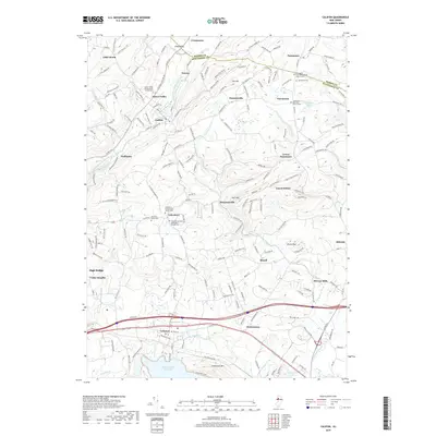
2019 Map of Califon
USGS Topo · Published 2019About this map
Califon and the South Branch Raritan River anchor this portion of the New Jersey Highlands, where the river valley carves through a landscape of distinct peaks like Hell Mtn and Fox Hill. The map reveals a dense concentration of religious and genealogical sites, particularly near Lower Valley, where the Lower Valley Presbyterian Church Cem stands. Further south, the terrain levels out toward the Round Valley Reservoir and Cushetunk Mtn, showing the transition from the high ridges into the valley floor.
Find a feature on this map
199 named features on this map. Tap any name to fly to it.
Don’t see what you’re looking for? This feature index may not catch every label — zoom into the map to look around manually.
Map Details
Editions of this 2019 Califon Map
This is the sole edition of this map. No revisions or reprints were ever made.
Other maps of this area

1888 · Hackettstown
USGS Topo · 1:62,500

1888 · Lake Hopatcong
USGS Topo · 1:62,500

1890 · High Bridge
USGS Topo · 1:62,500

1891 · Somerville
USGS Topo · 1:62,500
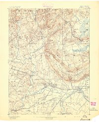
1893 · Somerville
USGS Topo · 1:62,500

1894 · Hackettstown
USGS Topo · 1:62,500

1894 · Lake Hopatcong
USGS Topo · 1:62,500

1898 · Lake Hopatcong
USGS Topo · 1:62,500
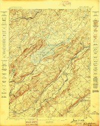
1898 · Hackettstown
USGS Topo · 1:62,500
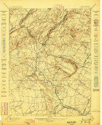
1898 · High Bridge
USGS Topo · 1:62,500