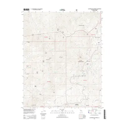
2015 Map of California Hot Springs
USGS Topo · Published 2015About this map
California Hot Springs and Pine Flat serve as the primary southern anchors for this portion of the Sequoia National Forest. The landscape is defined by its complex drainage systems, where Deer Creek and Tyler Creek carve deep through the Sierra Nevada foothills. Settlement patterns follow the few accessible corridors, with historic sites like Stone Place and Redwood Corral positioned near natural water sources like Skunk Spring and Cain Spring.
Find a feature on this map
64 named features on this map. Tap any name to fly to it.
Don’t see what you’re looking for? This feature index may not catch every label — zoom into the map to look around manually.
Map Details
Editions of this 2015 California Hot Springs Map
This is the sole edition of this map. No revisions or reprints were ever made.
Other maps of this area

1904 · Kaweah
USGS Topo · 1:125,000

1909 · Kaweah
USGS Topo · 1:125,000

1936 · White River
USGS Topo · 1:62,500

1936 · Tobias Peak
USGS Topo · 1:125,000

1937 · Kaweah
USGS Topo · 1:125,000

1943 · Tobias Peak
USGS Topo · 1:125,000

1945 · Tobias Peak
USGS Topo · 1:62,500

1948 · Bakersfield
USGS Topo · 1:250,000

1948 · Fresno
USGS Topo · 1:250,000
1952 · White River
USGS Topo · 1:62,500