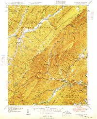
1949 Map of Callaghan
USGS Topo · Published 1949About this map
Covington and the neighboring Rayon Terrace sit at the confluence of the Jackson River and Dunlap Creek, marking a vital industrial and transport hub in the late 1940s. The Chesapeake and Ohio railroad follows the winding path of the creek, serving remote stations like Backbone Siding and Alleghany near the state border. This landscape is defined by the intersections of the Monongahela National Forest, George Washington National Forest, and Jefferson National Forest, where high ridges like Peters Mountain and Middle Mtn create a natural barrier between West Virginia and Virginia.
Find a feature on this map
95 named features on this map. Tap any name to fly to it.
Don’t see what you’re looking for? This feature index may not catch every label — zoom into the map to look around manually.
Map Details
Editions of this 1949 Callaghan Map
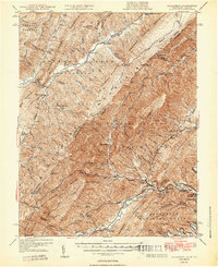
2 editions found
Other maps of this area

1887 · Lewisburg
USGS Topo · 1:125,000

1891 · Lewisburg
USGS Topo · 1:125,000

1891 · Huntersville
USGS Topo · 1:125,000

1894 · Huntersville
USGS Topo · 1:125,000

1894 · Natural Bridge
USGS Topo · 1:125,000

1901 · Monterey
USGS Topo · 1:125,000

1913 · Eagle Rock
USGS Topo · 1:48,000

1915 · Eagle Rock
USGS Topo · 1:62,500

1921 · Callaghan
USGS Topo · 1:48,000

1921 · White Sulphur Springs
USGS Topo · 1:48,000