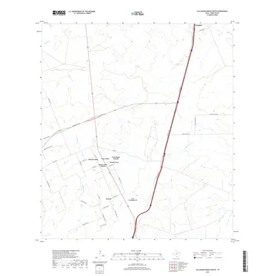
2019 Map of Callaghan Ranch South
USGS Topo · Published 2019About this map
Los Veteranos II and Botines anchor this South Texas landscape where the brush country of Webb County meets modern transit corridors. The settlement pattern here is defined by clusters like Sunset Acres Colonia, Four Points Colonia, and Bonanza Hills, which sit along the intersection of the Columbia Toll Rd and the central highway artery. The map provides a clear look at the residential development and colonias that have shaped this region north of Laredo in the twenty-first century.
Find a feature on this map
37 named features on this map. Tap any name to fly to it.
Don’t see what you’re looking for? This feature index may not catch every label — zoom into the map to look around manually.
Map Details
Editions of this 2019 Callaghan Ranch South Map
This is the sole edition of this map. No revisions or reprints were ever made.
Other maps of this area

1956 · Las Tiendas
USGS Topo · 1:62,500

1956 · Islitas
USGS Topo · 1:62,500

1956 · Laredo East
USGS Topo · 1:62,500

1956 · Webb
USGS Topo · 1:62,500

1956 · Laredo
USGS Topo · 1:250,000

1965 · Orvil
USGS Topo · 1:24,000

1965 · Spohn Ranch
USGS Topo · 1:24,000

1965 · Cuervo Creek
USGS Topo · 1:24,000

1965 · Cibolo Ranch
USGS Topo · 1:24,000

1965 · Nido Ranch
USGS Topo · 1:24,000
Featured Places
- Los Veteranos II, TX
- Los Veteranos 83 Colonia, TX
- Sunset Acres Colonia, TX
- Four Points Colonia, TX
- Botines, TX