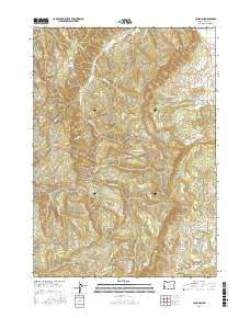
2017 Map of Callahan
USGS Topo · Published 2017About this map
Callahan serves as a primary geographic anchor in this section of Douglas County, situated amid a complex network of timber and access roads that crisscross the high ridges. The landscape is defined by its significant relief, featuring Rattlesnake Ridge in the north and Bear Ridge further south. Water management and natural drainage are central to the area's character, evidenced by Grier Reservoir and the headwaters of numerous creeks including Hubbard Cr and Mill Cr.
Find a feature on this map
69 named features on this map. Tap any name to fly to it.
Don’t see what you’re looking for? This feature index may not catch every label — zoom into the map to look around manually.
Map Details
Editions of this 2017 Callahan Map
This is the sole edition of this map. No revisions or reprints were ever made.
Other maps of this area

1897 · Roseburg
USGS Topo · 1:125,000

1900 · Roseburg
USGS Topo · 1:125,000

1928 · Sitkum
USGS Topo · 1:125,000

1954 · Sutherlin
USGS Topo · 1:62,500

1955 · Camas Valley
USGS Topo · 1:62,500

1955 · Tyee
USGS Topo · 1:62,500

1955 · Roseburg
USGS Topo · 1:62,500

1958 · Roseburg
USGS Topo · 1:250,000

1959 · Roseburg
USGS Topo · 1:250,000

1979 · Roseburg
USGS Topo · 1:100,000