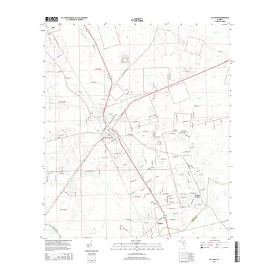
2015 Map of Callahan
USGS Topo · Published 2015About this map
Callahan serves as the primary hub of this North Florida landscape, where a grid of rural routes and modern connectors converges. The drainage patterns of the coastal plain are clearly visible through the winding courses of Alligator Cr, Mills Cr, and Little Mills Cr, which define the low-lying terrain. To the south, the boundary between Nassau Co and Duval Co follows the meanders of Thomas Cr, anchoring the settlements of Ratliff and Nassau Village near the county line. The map highlights a transition from established town centers to sprawling timber and agricultural tracts. Notable local landmarks and thoroughfares like Live Oak Church Rd and Dyal Rd provide essential context for researchers tracing family history or land use in the vicinity of Dyal.
Find a feature on this map
137 named features on this map. Tap any name to fly to it.
Don’t see what you’re looking for? This feature index may not catch every label — zoom into the map to look around manually.
Map Details
Editions of this 2015 Callahan Map
This is the sole edition of this map. No revisions or reprints were ever made.
Other maps of this area

1917 · Cambon
USGS Topo · 1:62,500

1917 · Hilliard
USGS Topo · 1:62,500

1918 · St Marys
USGS Topo · 1:62,500

1918 · Cambon
USGS Topo · 1:62,500

1918 · Jacksonville
USGS Topo · 1:62,500

1919 · St Marys
USGS Topo · 1:62,500

1919 · Hilliard
USGS Topo · 1:62,500

1948 · Jacksonville
USGS Topo · 1:250,000

1950 · Trout River
USGS Topo · 1:24,000

1957 · Jacksonville
USGS Topo · 1:250,000