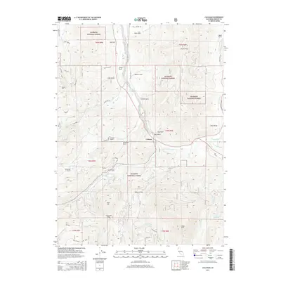
2015 Map of Callahan
USGS Topo · Published 2015About this map
Callahan serves as the central hub of this northern California landscape, where the Scott River and its various forks converge. The settlement sits at the southern end of Scott Valley, a region defined by complex drainage patterns and numerous named gulches such as Ankeny Gulch and Limekiln Gulch. Evidence of the area's industrial past is seen in the presence of Big Mill and Black Mill along the eastern drainages, suggesting a history of timber or ore processing.
Find a feature on this map
56 named features on this map. Tap any name to fly to it.
Don’t see what you’re looking for? This feature index may not catch every label — zoom into the map to look around manually.
Map Details
Editions of this 2015 Callahan Map
This is the sole edition of this map. No revisions or reprints were ever made.
Other maps of this area

1886 · Shasta
USGS Topo · 1:250,000

1894 · Shasta
USGS Topo · 1:250,000

1923 · Sawyers Bar
USGS Topo · 1:125,000

1931 · Etna
USGS Topo · 1:96,000

1934 · Etna
USGS Topo · 1:125,000

1948 · Weed
USGS Topo · 1:250,000

1950 · Weed
USGS Topo · 1:250,000
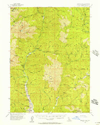
1955 · Bonanza King
USGS Topo · 1:62,500
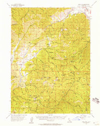
1955 · China Mountain
USGS Topo · 1:62,500

1955 · Etna
USGS Topo · 1:62,500