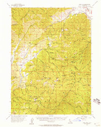
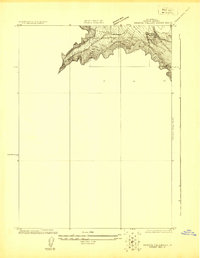
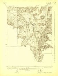
1955 Map of China Mountain
USGS Topo · Published 1957About this map
Klamath National Forest, Shasta National Forest, and Trinity National Forest converge in this mid-century survey of the California mountains. The landscape is defined by its early industrial and high-country habitation, featuring several remote outposts such as Mountain House and Pedro Cabin. The resource-driven economy of the era is evident through scattered mining operations, including the Dewey Mine and Polar Bear Mine situated north of China Mountain.
Find a feature on this map
91 named features on this map. Tap any name to fly to it.
Don’t see what you’re looking for? This feature index may not catch every label — zoom into the map to look around manually.
Map Details
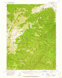
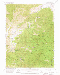
Editions of this 1955 China Mountain Map
3 editions found
Other maps of this area

1886 · Shasta
USGS Topo · 1:250,000

1894 · Shasta
USGS Topo · 1:250,000

1921 · Shasta Valley Sheet No 7
USGS Topo · 1:24,000
1921 · Shasta Valley Sheet No 1
USGS Topo · 1:24,000
1922 · Shasta Valley Sheet No 1 S
USGS Topo · 1:24,000
1922 · Shasta Valley Sheet No 8
USGS Topo · 1:24,000

1923 · Sawyers Bar
USGS Topo · 1:125,000

1931 · Etna
USGS Topo · 1:96,000

1932 · Yreka
USGS Topo · 1:96,000

1934 · Etna
USGS Topo · 1:125,000