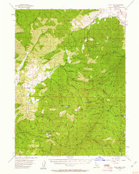
1955 Map of China Mountain
USGS Topo · Published 1961About this map
The high elevation terrain where the Klamath, Shasta, and Trinity National Forests converge is defined by a dense network of high-country cabins and mining claims. In the mid-1950s, remote structures like Peard, Houston, and Bear Creek Cabin provided essential shelter for rangers or stockmen navigating the divides between the Scott River and the South Fork Sacramento River.
Find a feature on this map
97 named features on this map. Tap any name to fly to it.
Don’t see what you’re looking for? This feature index may not catch every label — zoom into the map to look around manually.
Map Details
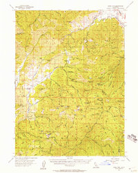
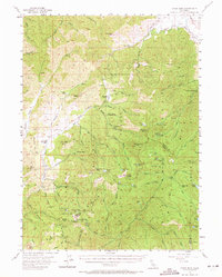
Editions of this 1955 China Mountain Map
3 editions found
Other maps of this area

1886 · Shasta
USGS Topo · 1:250,000

1894 · Shasta
USGS Topo · 1:250,000

1921 · Shasta Valley Sheet No 7
USGS Topo · 1:24,000

1921 · Shasta Valley Sheet No 1
USGS Topo · 1:24,000

1922 · Shasta Valley Sheet No 1 S
USGS Topo · 1:24,000
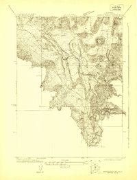
1922 · Shasta Valley Sheet No 8
USGS Topo · 1:24,000

1923 · Sawyers Bar
USGS Topo · 1:125,000

1931 · Etna
USGS Topo · 1:96,000

1932 · Yreka
USGS Topo · 1:96,000

1934 · Etna
USGS Topo · 1:125,000