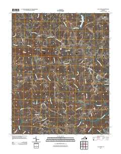
2011 Map of Callands
USGS Topo · Published 2011About this map
Banister River and Sandy River define the drainage patterns of this Pittsylvania County landscape, where small rural hubs and agricultural crossroads persist. The area is characterized by a network of winding local routes such as Triangle School Rd and Oakes and Stanfield Rd, connecting historic communities like Callands and Swansonville. The presence of Hollys Mill and the Gregory Cemetery suggests long-standing family settlements and early industrial sites along the waterways. To the north, the terrain rises toward Brier Mountain, while managed water resources are evident at Burton Lake and the Aaron Dam. This survey documents the intersection of natural topography and local heritage, from the Cherrystone Youth Camp to the dispersed hamlets of Worlds and Rondo.
Find a feature on this map
46 named features on this map. Tap any name to fly to it.
Don’t see what you’re looking for? This feature index may not catch every label — zoom into the map to look around manually.
Map Details
Editions of this 2011 Callands Map
This is the sole edition of this map. No revisions or reprints were ever made.
Other maps of this area

1921 · Chatham
USGS Topo · 1:48,000

1922 · Callands
USGS Topo · 1:48,000

1923 · Danville
USGS Topo · 1:48,000

1923 · Chatham
USGS Topo · 1:62,500

1924 · Draper
USGS Topo · 1:48,000

1924 · Callands
USGS Topo · 1:62,500

1925 · Danville
USGS Topo · 1:62,500

1926 · Draper
USGS Topo · 1:62,500

1944 · Draper
USGS Topo · 1:62,500

1944 · Callands
USGS Topo · 1:62,500