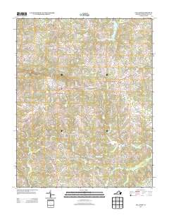
2013 Map of Callands
USGS Topo · Published 2013About this map
Callands serves as a central point in this rural Virginia landscape, where the Sandy River and Banister River create a complex network of tributaries. The map documents a predominantly agricultural and wooded region in the early twenty-first century, marked by historic crossroads like Swansonville and Rondo. Local geography is defined by prominent elevations such as Brier Mountain and water bodies including Burton Lake and the winding Wet Sleeve Cr. The presence of Hollys Mill suggests a history of water-powered industry along these streams, while the Cherrystone Youth Camp indicates the area's modern role in recreation. A dense network of local roads, such as Museville Rd and Strawberry Creek Ln, connects these small communities, reflecting generations of land ownership and movement through the river valleys of Pittsylvania County.
Find a feature on this map
84 named features on this map. Tap any name to fly to it.
Don’t see what you’re looking for? This feature index may not catch every label — zoom into the map to look around manually.
Map Details
Editions of this 2013 Callands Map
This is the sole edition of this map. No revisions or reprints were ever made.
Other maps of this area

1921 · Chatham
USGS Topo · 1:48,000

1922 · Callands
USGS Topo · 1:48,000

1923 · Danville
USGS Topo · 1:48,000

1923 · Chatham
USGS Topo · 1:62,500

1924 · Draper
USGS Topo · 1:48,000

1924 · Callands
USGS Topo · 1:62,500

1925 · Danville
USGS Topo · 1:62,500

1926 · Draper
USGS Topo · 1:62,500

1944 · Draper
USGS Topo · 1:62,500

1944 · Callands
USGS Topo · 1:62,500