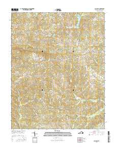
2016 Map of Callands
USGS Topo · Published 2016About this map
The Banister River and Sandy River define the undulating landscape of western Pittsylvania County. This 2016 survey highlights a series of rural crossroads and historic clusters, including the settlement of Callands and the naming of Hollys Mill. The terrain is marked by prominent ridges like Brier Mtn and the branching drainage systems of Tomahawk Cr and Wet Sleeve Cr.
Find a feature on this map
79 named features on this map. Tap any name to fly to it.
Don’t see what you’re looking for? This feature index may not catch every label — zoom into the map to look around manually.
Map Details
Editions of this 2016 Callands Map
This is the sole edition of this map. No revisions or reprints were ever made.
Other maps of this area

1921 · Chatham
USGS Topo · 1:48,000

1922 · Callands
USGS Topo · 1:48,000

1923 · Danville
USGS Topo · 1:48,000

1923 · Chatham
USGS Topo · 1:62,500

1924 · Draper
USGS Topo · 1:48,000

1924 · Callands
USGS Topo · 1:62,500

1925 · Danville
USGS Topo · 1:62,500

1926 · Draper
USGS Topo · 1:62,500

1944 · Draper
USGS Topo · 1:62,500

1944 · Callands
USGS Topo · 1:62,500