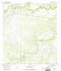
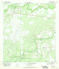
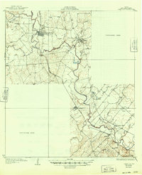
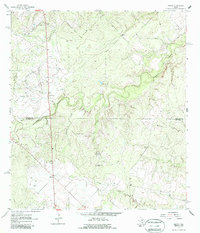
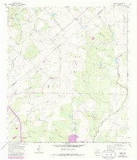
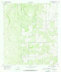
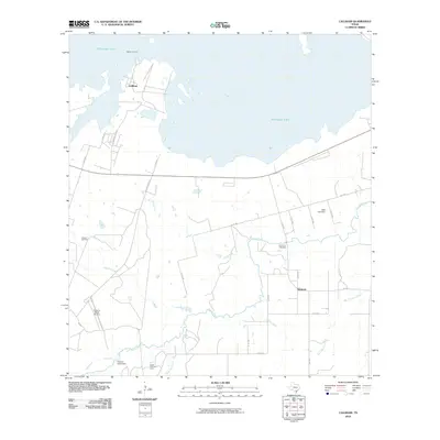
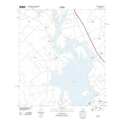
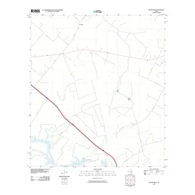
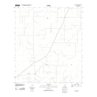
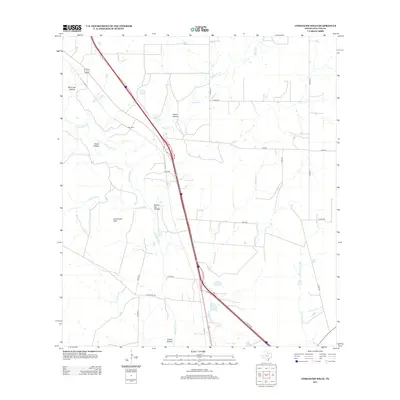
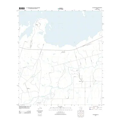
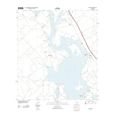
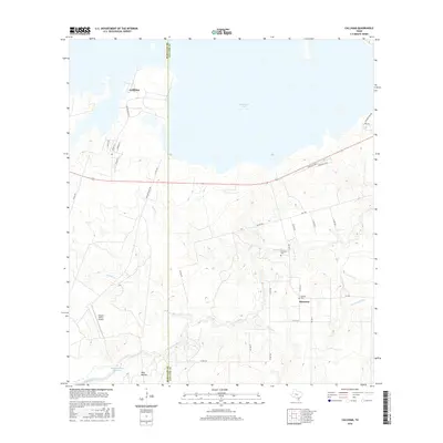
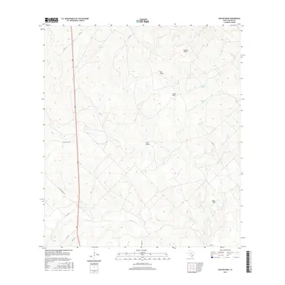
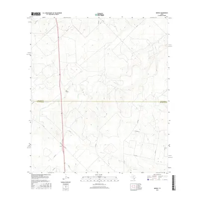
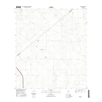
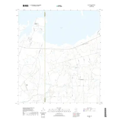
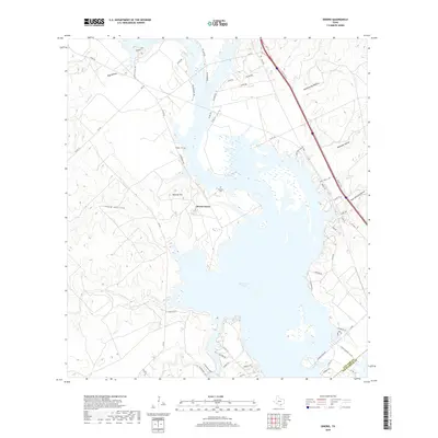
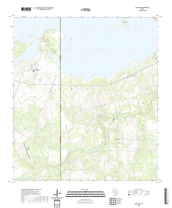
1967 Map of Calliham
USGS Topo · Published 1985About this map
The Nueces River and Frio River converge near the boundary of McMullen and Live Oak Counties, defining a landscape of riparian bottoms and rolling South Texas brush country. This 1967 survey captures the rural character of the region before significant modern development, centered on the small settlements of Calliham and Simmons. The area is characterized by an extensive network of ephemeral drainages, including Opossum Creek, White Creek, and Cabaniss Creek, which cut through the terrain toward the larger river systems.
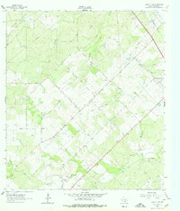
Find a feature on this map
22 named features on this map. Tap any name to fly to it.
Don’t see what you’re looking for? This feature index may not catch every label — zoom into the map to look around manually.
Map Details
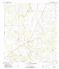
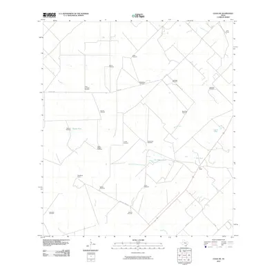
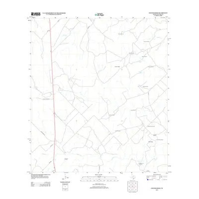
Editions of this 1967 Calliham Map
2 editions found
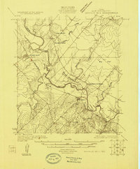
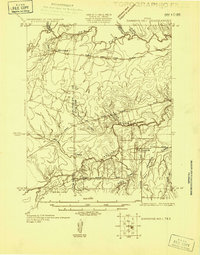
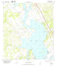
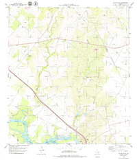
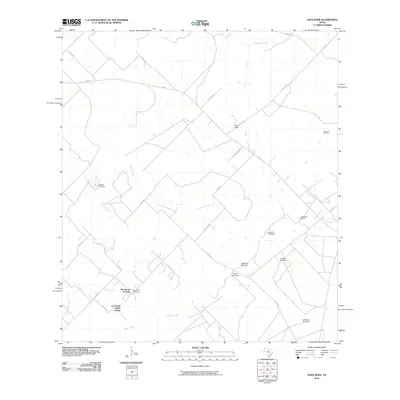
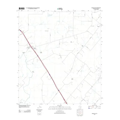
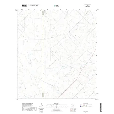
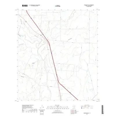
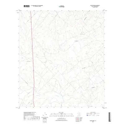
Historical Maps of Calliham Through Time
96 maps found

1920 Mikeska
Live Oak County, TX

1925 Mathis No. 2
Live Oak County, TX
1925 Oakville No. 4
Live Oak County, TX
1925 Simmons No. 1
Live Oak County, TX
1927 Oakville
Live Oak County, TX

1956 Suniland
Live Oak County, TX
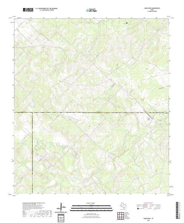
1963 Anna Rose
Live Oak County, TX
1963 Crater Ridge
Live Oak County, TX
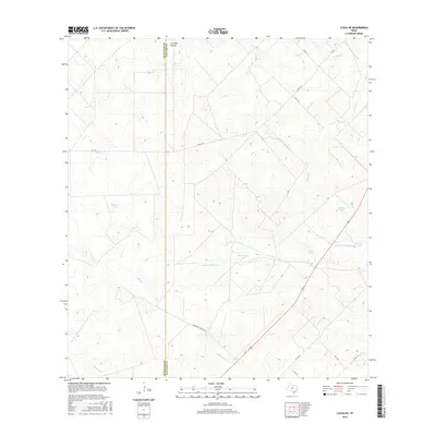
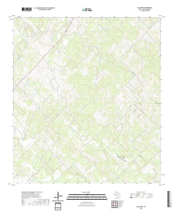
1963 Elm Creek
Live Oak County, TX
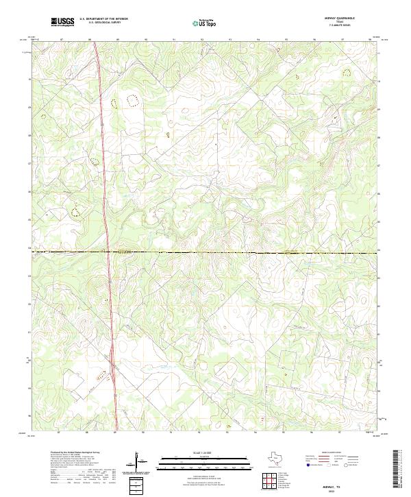
1963 Midway
Live Oak County, TX
1963 Oakville SW
Live Oak County, TX
1964 Oakville
Live Oak County, TX
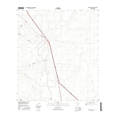
1965 Comanche Hills
Live Oak County, TX
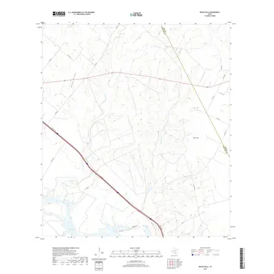
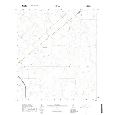
1965 Peggy
Live Oak County, TX
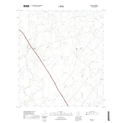
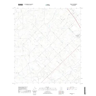
1965 Ray Point
Live Oak County, TX
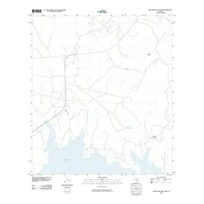
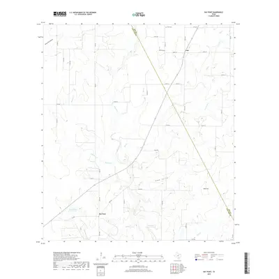
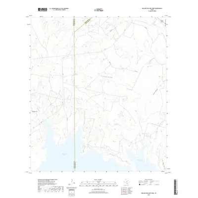
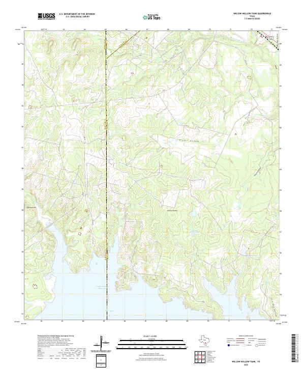
1965 Willow Hollow Tank
Live Oak County, TX
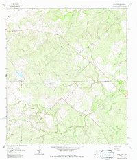
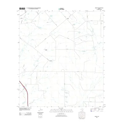
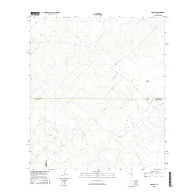
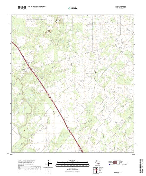
1967 Calliham
Live Oak County, TX
1969 Clegg NE
Live Oak County, TX
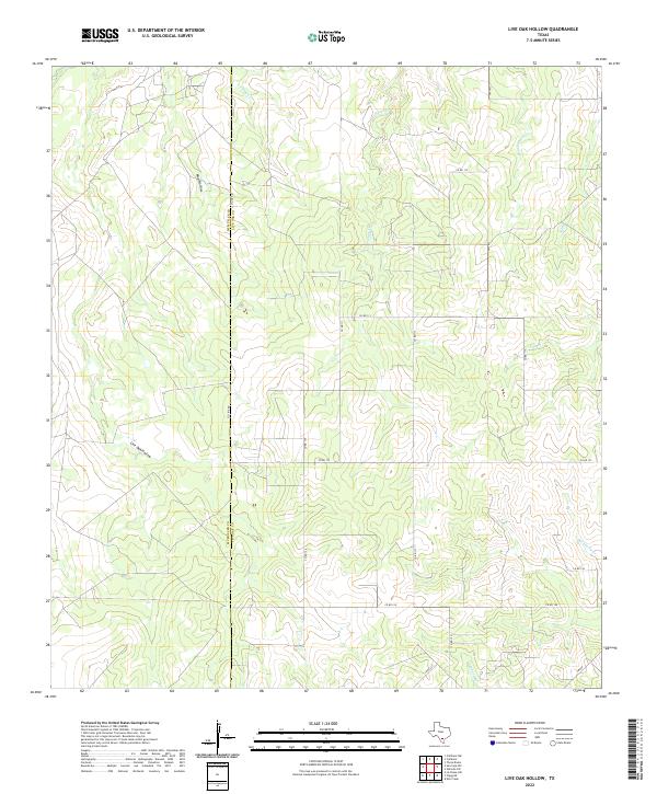
1969 Live Oak Hollow
Live Oak County, TX
1979 Dinero
Live Oak County, TX
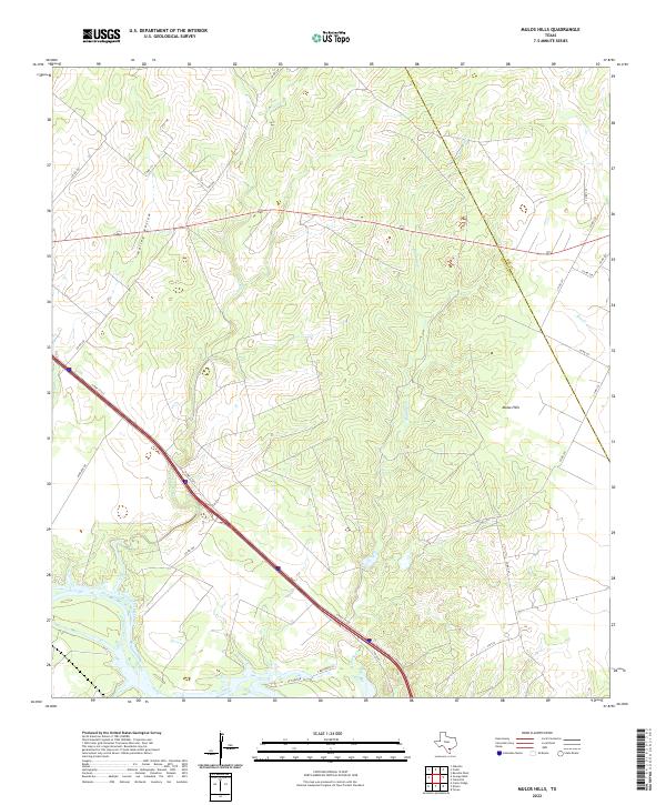
1979 Mulos Hills
Live Oak County, TX
2010 Anna Rose
Live Oak County, TX
2010 Calliham
Live Oak County, TX
2010 Clegg NE
Live Oak County, TX
2010 Comanche Hills
Live Oak County, TX
2010 Crater Ridge
Live Oak County, TX
2010 Dinero
Live Oak County, TX
2010 Elm Creek
Live Oak County, TX
2010 Live Oak Hollow
Live Oak County, TX
2010 Midway
Live Oak County, TX
2010 Mulos Hills
Live Oak County, TX
2010 Oakville
Live Oak County, TX
2010 Oakville SW
Live Oak County, TX
2010 Peggy
Live Oak County, TX
2010 Ray Point
Live Oak County, TX
2010 Willow Hollow Tank
Live Oak County, TX
2012 Anna Rose
Live Oak County, TX
2012 Clegg NE
Live Oak County, TX
2012 Comanche Hills
Live Oak County, TX
2012 Crater Ridge
Live Oak County, TX
2012 Elm Creek
Live Oak County, TX

2012 Live Oak Hollow
Live Oak County, TX
2012 Oakville
Live Oak County, TX
2012 Peggy
Live Oak County, TX
2012 Ray Point
Live Oak County, TX
2012 Willow Hollow Tank
Live Oak County, TX
2013 Calliham
Live Oak County, TX
2013 Dinero
Live Oak County, TX
2013 Midway
Live Oak County, TX
2013 Mulos Hills
Live Oak County, TX
2013 Oakville SW
Live Oak County, TX
2016 Anna Rose
Live Oak County, TX
2016 Calliham
Live Oak County, TX
2016 Clegg NE
Live Oak County, TX
2016 Comanche Hills
Live Oak County, TX
2016 Crater Ridge
Live Oak County, TX
2016 Dinero
Live Oak County, TX
2016 Elm Creek
Live Oak County, TX
2016 Live Oak Hollow
Live Oak County, TX
2016 Midway
Live Oak County, TX
2016 Mulos Hills
Live Oak County, TX
2016 Oakville
Live Oak County, TX
2016 Oakville SW
Live Oak County, TX
2016 Peggy
Live Oak County, TX
2016 Ray Point
Live Oak County, TX
2016 Willow Hollow Tank
Live Oak County, TX
2019 Anna Rose
Live Oak County, TX
2019 Calliham
Live Oak County, TX
2019 Clegg NE
Live Oak County, TX
2019 Comanche Hills
Live Oak County, TX
2019 Crater Ridge
Live Oak County, TX
2019 Dinero
Live Oak County, TX
2019 Elm Creek
Live Oak County, TX
2019 Live Oak Hollow
Live Oak County, TX
2019 Midway
Live Oak County, TX
2019 Mulos Hills
Live Oak County, TX
2019 Oakville
Live Oak County, TX
2019 Oakville SW
Live Oak County, TX
2019 Peggy
Live Oak County, TX
2019 Ray Point
Live Oak County, TX
2019 Willow Hollow Tank
Live Oak County, TX
2022 Anna Rose
Live Oak County, TX
2022 Calliham
Live Oak County, TX
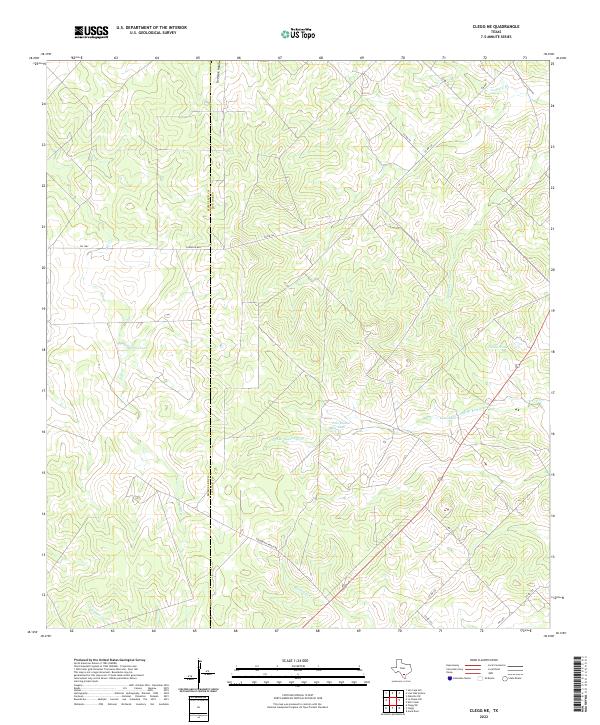
2022 Clegg NE
Live Oak County, TX
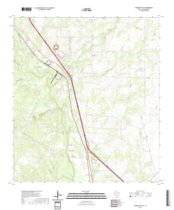
2022 Comanche Hills
Live Oak County, TX
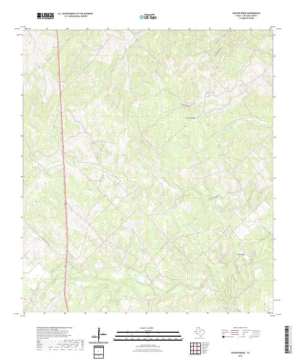
2022 Crater Ridge
Live Oak County, TX
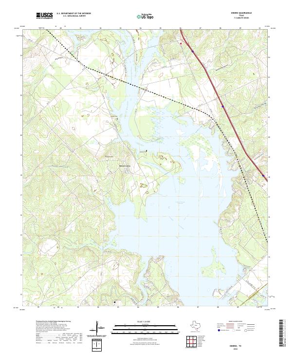
2022 Dinero
Live Oak County, TX
2022 Elm Creek
Live Oak County, TX
2022 Live Oak Hollow
Live Oak County, TX
2022 Midway
Live Oak County, TX
2022 Mulos Hills
Live Oak County, TX
2022 Oakville
Live Oak County, TX
2022 Oakville SW
Live Oak County, TX
2022 Peggy
Live Oak County, TX
2022 Ray Point
Live Oak County, TX
2022 Willow Hollow Tank
Live Oak County, TX