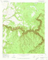
1965 Map of Calloway Butte
USGS Topo · Published 1972About this map
Coconino National Forest defines this high-elevation landscape in the mid-1960s, a region where life and navigation revolve around livestock management and a network of small mountain tanks. The area is dominated by deep geological cuts such as Clear Creek Canyon and Tule Canyon, which separate prominent rises like Calloway Butte and Sams Butte. The water distribution system is highly specific, featuring numerous named points like Harris Tank, Dead Horse Tank, and the Bow Ribbon Tanks, reflecting the essential nature of reliable water sources in the Arizona wilderness during this era.
Find a feature on this map
65 named features on this map. Tap any name to fly to it.
Don’t see what you’re looking for? This feature index may not catch every label — zoom into the map to look around manually.
Map Details
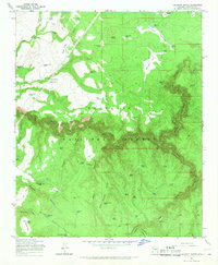
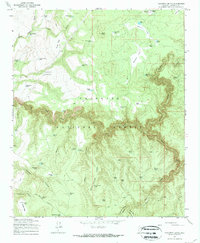
Editions of this 1965 Calloway Butte Map
3 editions found
Other maps of this area

1887 · Verde
USGS Topo · 1:250,000

1892 · Verde
USGS Topo · 1:250,000

1923 · Camp Verde
USGS Topo · 1:125,000

1929 · Turret Peak
USGS Topo · 1:125,000

1932 · Camp Verde
USGS Topo · 1:125,000

1933 · Turret Peak
USGS Topo · 1:125,000

1934 · Pine
USGS Topo · 1:62,500

1936 · Camp Verde
USGS Topo · 1:125,000

1940 · Pine
USGS Topo · 1:62,500

1952 · Pine
USGS Topo · 1:62,500