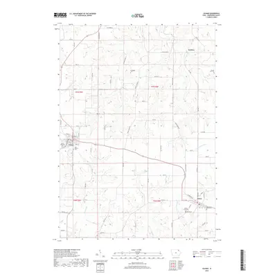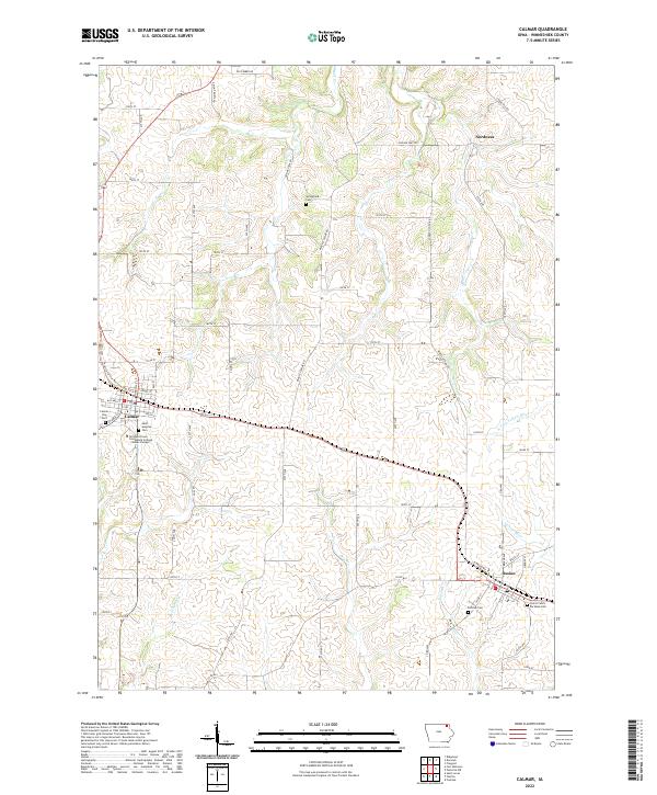
2022 Map of Calmar
USGS Topo · Published 2022About this map
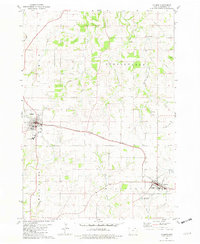
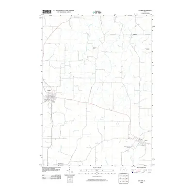
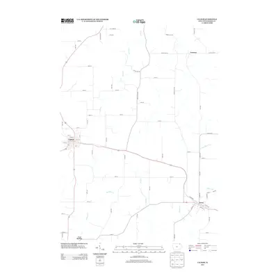
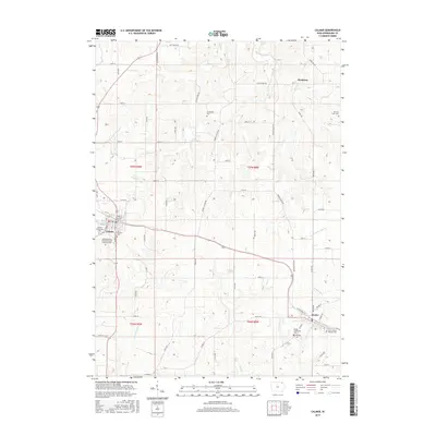
Calmar and Ossian serve as the primary hubs in this agricultural landscape of Winneshiek County, where the township lines of t97n r9w, t97n r8w, t96n r9w, and t96n r8w converge. The area is defined by a dense network of country roads following the section lines, punctuated by several historical burial grounds including Springfield Cem to the north and Hillside Cem near the southern edge. The Northeast Iowa Community College - Calmar Campus anchors the southern end of Calmar, reflecting the modern institutional footprint in this rural setting.
Find a feature on this map
63 named features on this map. Tap any name to fly to it.
Don’t see what you’re looking for? This feature index may not catch every label — zoom into the map to look around manually.
Map Details
Editions of this 2022 Calmar Map
This is the sole edition of this map. No revisions or reprints were ever made.
Historical Maps of Calmar Through Time
6 maps found