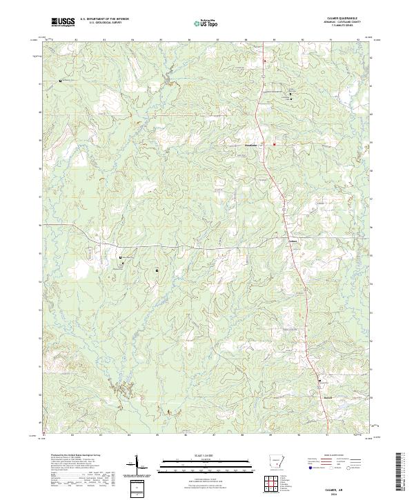
2024 Map of Calmer
USGS Topo · Published 2024About this map
Woodlawn and Calmer anchor this section of Cleveland County, Arkansas, where the landscape is defined by the winding tributaries of the Saline River basin. The geography is heavily marked by small-scale settlements and a significant concentration of local burial grounds, indicating long-established family ties to the land. Features like New Hope Original Cem and the newer New Hope Cem suggest shifts in local congregation centers over time. In the southern portion of the map, Rowell sits near the banks of Kesterson Lake, while the drainages of Big Creek and Kissee Creek carve through the timbered terrain. The rural road network, including names like Rowell Club Rd and Friendship Cemetary Rd, provides a clear view of the historical connectivity between these scattered communities and their local landmarks.
Find a feature on this map
55 named features on this map. Tap any name to fly to it.
Don’t see what you’re looking for? This feature index may not catch every label — zoom into the map to look around manually.
Map Details
Editions of this 2024 Calmer Map
This is the sole edition of this map. No revisions or reprints were ever made.
Other maps of this area

1935 · Feenyville
USGS Topo · 1:62,500

1935 · Noble Lake
USGS Topo · 1:62,500

1948 · Helena
USGS Topo · 1:250,000

1950 · Helena
USGS Topo · 1:250,000

1953 · Greenwood
USGS Topo · 1:250,000

1953 · El Dorado
USGS Topo · 1:250,000

1955 · Helena
USGS Topo · 1:250,000

1955 · Little Rock
USGS Topo · 1:250,000

1956 · Little Rock
USGS Topo · 1:250,000

1956 · Greenwood
USGS Topo · 1:250,000