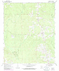
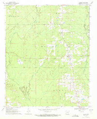
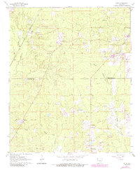
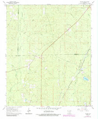
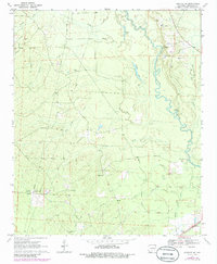
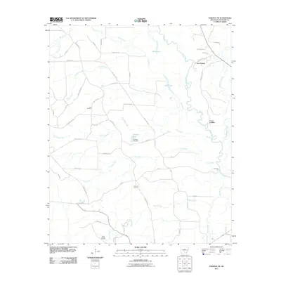
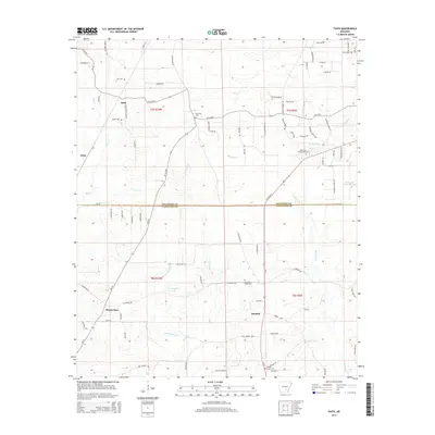
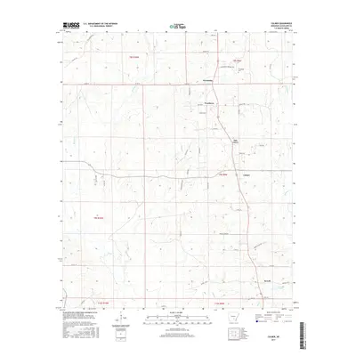
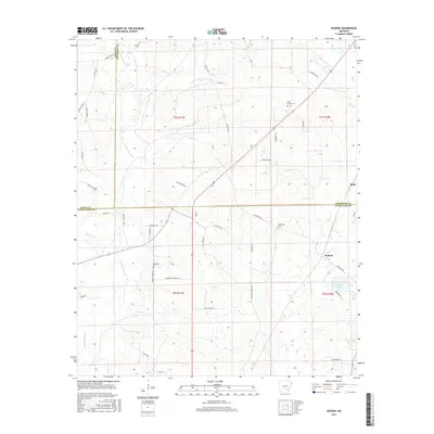
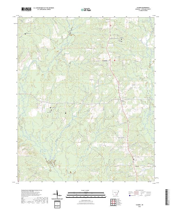
1970 Map of Calmer
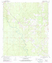
USGS Topo · Published 1986About this map
Friendship and Calmer serve as the primary nodes of settlement in this part of Cleveland County, as documented through aerial photography and field checks between 1968 and 1970. The landscape is defined by its rural density, centered on a network of community institutions such as Union Grove Ch and New Hope Ch. The drainage patterns of Brushy Creek and Kissee Creek dictate the placement of local roads and farmsteads, reflecting a long-standing reliance on the area's natural topography for development.
Find a feature on this map
24 named features on this map. Tap any name to fly to it.
Don’t see what you’re looking for? This feature index may not catch every label — zoom into the map to look around manually.
Map Details
Editions of this 1970 Calmer Map
2 editions found
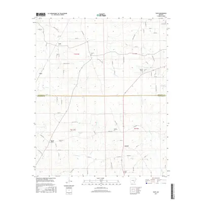
Historical Maps of Rowell Through Time
30 maps found
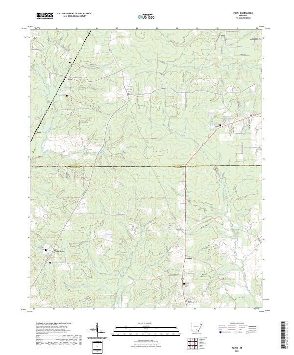
1962 Faith
Cleveland County, AR
1962 Kedron
Cleveland County, AR
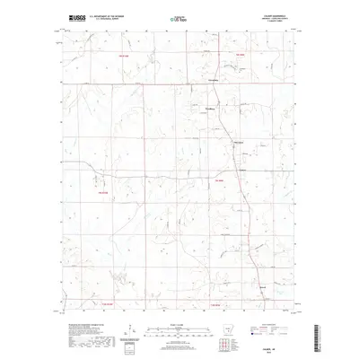
1970 Calmer
Cleveland County, AR
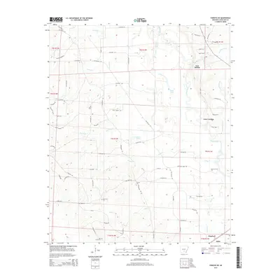
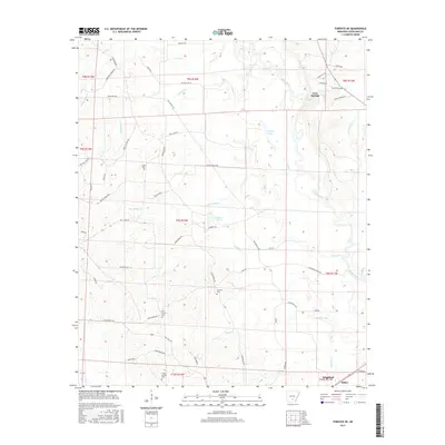
1970 Fordyce NE
Cleveland County, AR
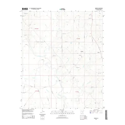
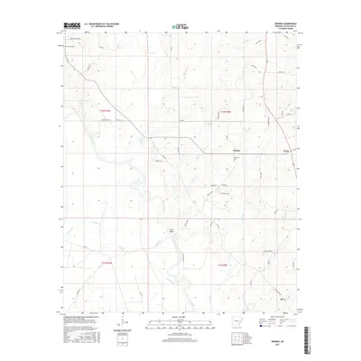
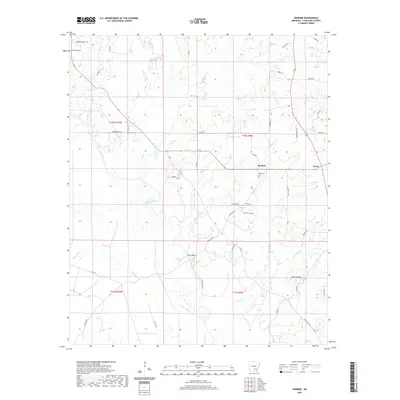
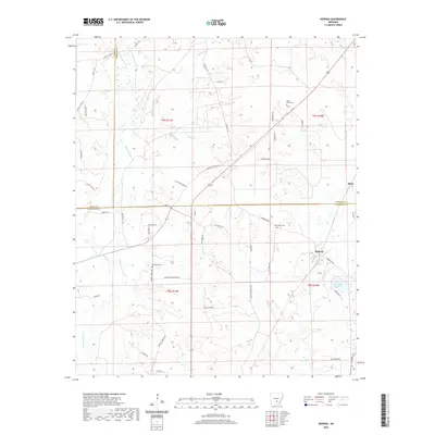
1970 Herbine
Cleveland County, AR
2011 Calmer
Cleveland County, AR
2011 Faith
Cleveland County, AR
2011 Fordyce NE
Cleveland County, AR
2011 Herbine
Cleveland County, AR
2011 Kedron
Cleveland County, AR
2014 Calmer
Cleveland County, AR
2014 Faith
Cleveland County, AR
2014 Fordyce NE
Cleveland County, AR
2014 Herbine
Cleveland County, AR
2014 Kedron
Cleveland County, AR
2017 Calmer
Cleveland County, AR
2017 Faith
Cleveland County, AR
2017 Fordyce NE
Cleveland County, AR
2017 Herbine
Cleveland County, AR
2017 Kedron
Cleveland County, AR
2020 Calmer
Cleveland County, AR
2020 Faith
Cleveland County, AR
2020 Fordyce NE
Cleveland County, AR
2020 Herbine
Cleveland County, AR
2020 Kedron
Cleveland County, AR
2024 Calmer
Cleveland County, AR
2024 Faith
Cleveland County, AR

2024 Fordyce NE
Cleveland County, AR
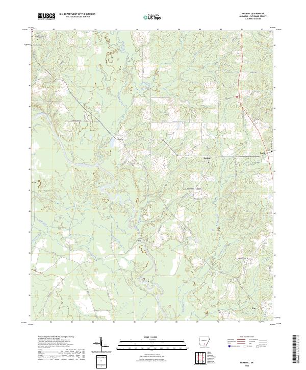
2024 Herbine
Cleveland County, AR
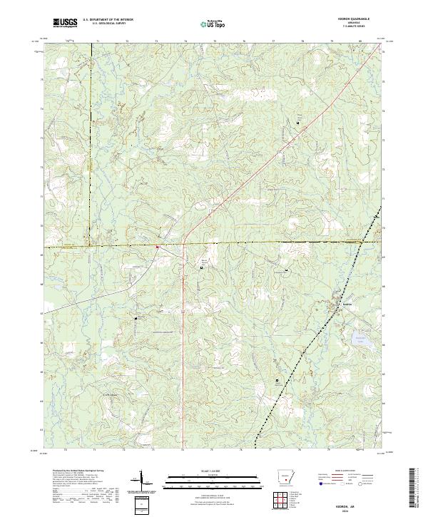
2024 Kedron
Cleveland County, AR