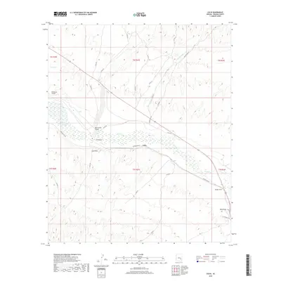
2018 Map of Calva
USGS Topo · Published 2018About this map
The Gila River winds through the heart of the Gila Valley, defining the geography of this Graham County landscape. Centered on the settlement of Calva, the terrain is heavily marked by seasonal drainage systems and deep cuts, including Wildhorse Canyon, Bone Spring Canyon, and the prominent Calva Draw. These features reflect a landscape shaped by water in an arid environment, where isolated water sources like Poison Spring were likely critical for early ranching and travel.
Find a feature on this map
33 named features on this map. Tap any name to fly to it.
Don’t see what you’re looking for? This feature index may not catch every label — zoom into the map to look around manually.
Map Details
Editions of this 2018 Calva Map
This is the sole edition of this map. No revisions or reprints were ever made.
Other maps of this area

1954 · Mesa
USGS Topo · 1:250,000

1957 · Mesa
USGS Topo · 1:250,000

1958 · Mesa
USGS Topo · 1:250,000

1960 · Mesa
USGS Topo · 1:250,000

1960 · Bylas
USGS Topo · 1:62,500

1962 · San Carlos Reservoir
USGS Topo · 1:62,500

1964 · Mesa
USGS Topo · 1:250,000

1966 · Branaman Spring
USGS Topo · 1:24,000
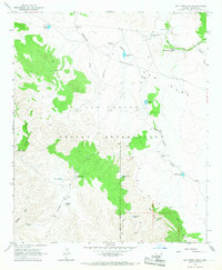
1966 · Ash Creek Ranch
USGS Topo · 1:24,000
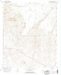
1966 · Mount Triplet
USGS Topo · 1:24,000