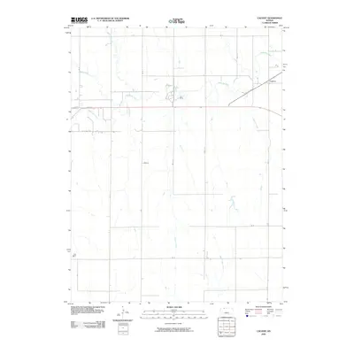
2009 Map of Calvert
USGS Topo · Published 2009About this map
Calvert stands as the primary settlement in this section of Norton County, situated at the junction of the railroad and the northern plains drainage systems. The landscape is defined by the winding course of Prairie Dog Creek, which draws in several smaller tributaries including Spring Branch, Spring Creek, and Wildcat Creek. This 2009 USGS survey illustrates a persistent rural grid system, where section roads like RD E 7 and K O N K RD provide access to the surrounding agricultural uplands. Further south, the terrain slopes toward Walnut Creek and Big Timber Creek, showing the traditional western Kansas pattern of settlements following the water and rail lines while the high ground remains dedicated to farming and open range.
Find a feature on this map
20 named features on this map. Tap any name to fly to it.
Don’t see what you’re looking for? This feature index may not catch every label — zoom into the map to look around manually.
Map Details
Editions of this 2009 Calvert Map
This is the sole edition of this map. No revisions or reprints were ever made.
Other maps of this area

1893 · Norton
USGS Topo · 1:125,000

1951 · Norton
USGS Topo · 1:62,500

1955 · Beloit
USGS Topo · 1:250,000

1959 · Beloit
USGS Topo · 1:250,000
1965 · Norton NW
USGS Topo · 1:24,000
1967 · Norton NE
USGS Topo · 1:24,000
1967 · Almena
USGS Topo · 1:24,000
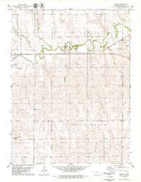
1978 · Calvert
USGS Topo · 1:24,000

1978 · Edmond
USGS Topo · 1:24,000
1978 · Norton
USGS Topo · 1:24,000