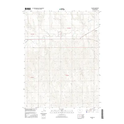
2015 Map of Calvert
USGS Topo · Published 2015About this map
The tiny settlement of Calvert stands as the primary namesake for this 2015 survey, situated in the northeast corner where the local road network converges. The landscape is defined by the dendritic drainage patterns of several seasonal and perennial waterways, most notably Prairie Dog Cr and its various tributaries including Walnut Cr and Wildcat Cr. These stream beds carve through the upland terrain, creating a complex series of ridges and valleys that have historically dictated the placement of rural section-line roads like RD J and RD L.
Find a feature on this map
65 named features on this map. Tap any name to fly to it.
Don’t see what you’re looking for? This feature index may not catch every label — zoom into the map to look around manually.
Map Details
Editions of this 2015 Calvert Map
This is the sole edition of this map. No revisions or reprints were ever made.
Other maps of this area

1893 · Norton
USGS Topo · 1:125,000

1951 · Norton
USGS Topo · 1:62,500

1955 · Beloit
USGS Topo · 1:250,000

1959 · Beloit
USGS Topo · 1:250,000
1965 · Norton NW
USGS Topo · 1:24,000
1967 · Norton NE
USGS Topo · 1:24,000
1967 · Almena
USGS Topo · 1:24,000
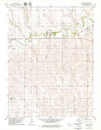
1978 · Calvert
USGS Topo · 1:24,000

1978 · Edmond
USGS Topo · 1:24,000
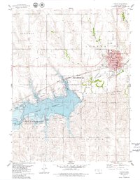
1978 · Norton
USGS Topo · 1:24,000