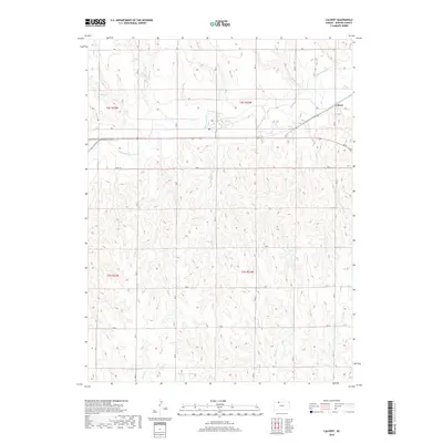
2018 Map of Calvert
USGS Topo · Published 2018About this map
Calvert stands as the primary settlement on this High Plains landscape, situated along a prominent transportation corridor in Norton County. The geography is defined by the dendritic drainage of Prairie Dog Cr, which flows northeast across the terrain, joined by several smaller tributaries including Wildcat Cr and Walnut Cr. The map reveals a highly structured rural grid, where numbered roads like RD L and RD M delineate the township and range boundaries of t2s r23w and t2s r22w. This network connects isolated farmsteads to the regional thoroughfare passing through the northern section of the quadrangle. The elevation contours illustrate the subtle breaks and draws typical of the Kansas prairie, particularly where Big Timber Cr and Otter Cr have carved more pronounced relief in the southern reaches of the survey area.
Find a feature on this map
26 named features on this map. Tap any name to fly to it.
Don’t see what you’re looking for? This feature index may not catch every label — zoom into the map to look around manually.
Map Details
Editions of this 2018 Calvert Map
This is the sole edition of this map. No revisions or reprints were ever made.
Other maps of this area

1893 · Norton
USGS Topo · 1:125,000

1951 · Norton
USGS Topo · 1:62,500

1955 · Beloit
USGS Topo · 1:250,000

1959 · Beloit
USGS Topo · 1:250,000
1965 · Norton NW
USGS Topo · 1:24,000
1967 · Norton NE
USGS Topo · 1:24,000
1967 · Almena
USGS Topo · 1:24,000
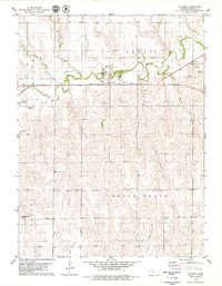
1978 · Calvert
USGS Topo · 1:24,000

1978 · Edmond
USGS Topo · 1:24,000
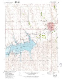
1978 · Norton
USGS Topo · 1:24,000