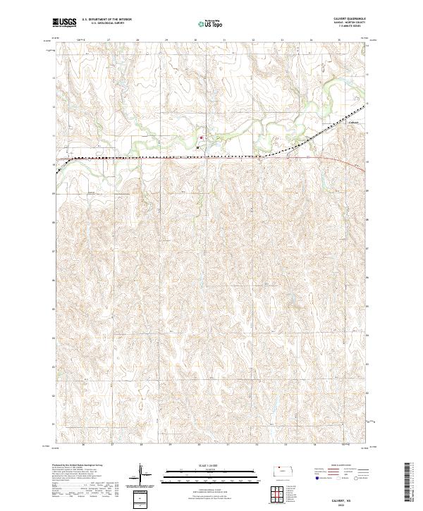
2022 Map of Calvert
USGS Topo · Published 2022About this map
Calvert stands as the primary settlement within this Norton County landscape, situated along a transportation corridor where modern roads follow the natural course of the terrain. The hydrology of the region is defined by a dendritic network of seasonal and perennial streams that have carved the plains into a complex series of draws and ridges. Key watercourses including Prairie Dog Cr, Wildcat Cr, and Walnut Cr drain the uplands, reflecting the agricultural and ranching foundations of this rural Kansas territory.
Find a feature on this map
19 named features on this map. Tap any name to fly to it.
Don’t see what you’re looking for? This feature index may not catch every label — zoom into the map to look around manually.
Map Details
Editions of this 2022 Calvert Map
This is the sole edition of this map. No revisions or reprints were ever made.
Other maps of this area

1893 · Norton
USGS Topo · 1:125,000

1951 · Norton
USGS Topo · 1:62,500

1955 · Beloit
USGS Topo · 1:250,000

1959 · Beloit
USGS Topo · 1:250,000
1965 · Norton NW
USGS Topo · 1:24,000
1967 · Norton NE
USGS Topo · 1:24,000
1967 · Almena
USGS Topo · 1:24,000
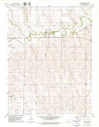
1978 · Calvert
USGS Topo · 1:24,000

1978 · Edmond
USGS Topo · 1:24,000
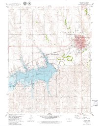
1978 · Norton
USGS Topo · 1:24,000