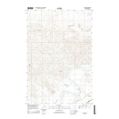
2014 Map of Calypso
USGS Topo · Published 2014About this map
The Yellowstone River anchors this central Montana landscape, winding through a series of dramatic bends that define the local geography. Near the river's edge, the settlement of Calypso sits along the Milwaukee Rd, reflecting a transportation-dependent history typical of the region. The river is marked by the Wolf Rapids and a network of ephemeral drainages like Sullivan Cr and Camp Cr that feed into the main waterway.
Find a feature on this map
21 named features on this map. Tap any name to fly to it.
Don’t see what you’re looking for? This feature index may not catch every label — zoom into the map to look around manually.
Map Details
Editions of this 2014 Calypso Map
This is the sole edition of this map. No revisions or reprints were ever made.
Other maps of this area

1953 · Miles City
USGS Topo · 1:250,000

1957 · Miles City
USGS Topo · 1:250,000

1958 · Miles City
USGS Topo · 1:250,000

1969 · Zero NE
USGS Topo · 1:24,000

1969 · Zero
USGS Topo · 1:24,000

1969 · Kinsey NE
USGS Topo · 1:24,000

1972 · Calypso
USGS Topo · 1:24,000

1972 · Papps Reservoir
USGS Topo · 1:24,000

1972 · Mc Clure Reservoir
USGS Topo · 1:24,000

1972 · Diamond G Creek
USGS Topo · 1:24,000