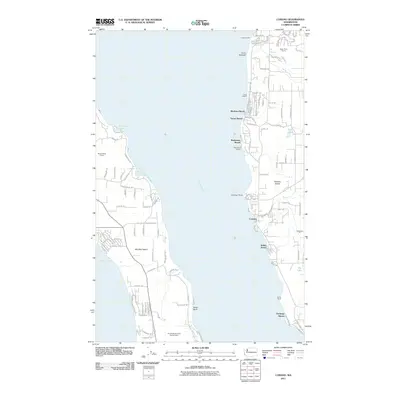
2011 Map of Camano
USGS Topo · Published 2011About this map
Saratoga Passage divides the landscape, separating the eastern shore of Whidbey Island from the western edge of Camano Island. This coastal survey documents a residential and recreational shoreline characterized by small beach communities such as Madrona Beach, Sunset Beach, and Indian Beach. The topography is marked by significant bluffs and points, including Point Demock in the north and the prominent North Bluff to the south.
Find a feature on this map
118 named features on this map. Tap any name to fly to it.
Don’t see what you’re looking for? This feature index may not catch every label — zoom into the map to look around manually.
Map Details
Editions of this 2011 Camano Map
This is the sole edition of this map. No revisions or reprints were ever made.
Other maps of this area

1911 · Mount Vernon
USGS Topo · 1:125,000

1939 · Coupeville
USGS Topo · 1:62,500

1940 · Mt Vernon
USGS Topo · 1:62,500

1943 · Mt Vernon
USGS Topo · 1:62,500

1943 · Stanwood
USGS Topo · 1:62,500

1943 · Deception Pass
USGS Topo · 1:62,500

1951 · Deception Pass
USGS Topo · 1:62,500

1953 · Coupeville
USGS Topo · 1:24,000

1953 · Freeland
USGS Topo · 1:24,000

1953 · Nordland
USGS Topo · 1:24,000