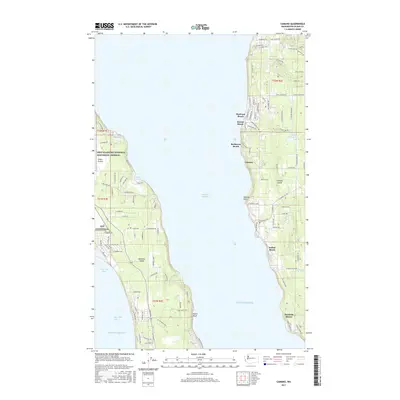
2017 Map of Camano
USGS Topo · Published 2017About this map
Whidbey Island and Camano Island face one another across the deep waters of the Saratoga Passage in this 2017 survey of the northern Puget Sound. The landscape on the western shore is dominated by the Ebey's Landing National Historical Reserve and the prairie lands around OLF Coupeville, where the geography transitions from the saltwater margins of Admiralty Bay to the open flats of Smith Prairie.
Find a feature on this map
113 named features on this map. Tap any name to fly to it.
Don’t see what you’re looking for? This feature index may not catch every label — zoom into the map to look around manually.
Map Details
Editions of this 2017 Camano Map
This is the sole edition of this map. No revisions or reprints were ever made.
Other maps of this area

1911 · Mount Vernon
USGS Topo · 1:125,000

1939 · Coupeville
USGS Topo · 1:62,500

1940 · Mt Vernon
USGS Topo · 1:62,500

1943 · Mt Vernon
USGS Topo · 1:62,500

1943 · Stanwood
USGS Topo · 1:62,500

1943 · Deception Pass
USGS Topo · 1:62,500

1951 · Deception Pass
USGS Topo · 1:62,500

1953 · Coupeville
USGS Topo · 1:24,000

1953 · Freeland
USGS Topo · 1:24,000

1953 · Nordland
USGS Topo · 1:24,000