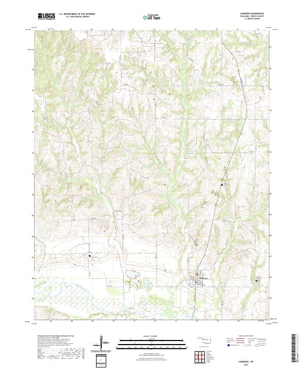
2022 Map of Camargo
USGS Topo · Published 2022About this map
The Canadian River cuts through the southern reaches of this landscape, creating a wide, sandy valley that defines the local geography. At the heart of the area sits Camargo, where a grid of streets including Main St and Broadway St centers the community's activity. The surrounding terrain is a network of ridges and drainage basins, where Gyp Creek and Trail Creek flow toward the river, supported by water features like the Don Number Reservoir.
Find a feature on this map
36 named features on this map. Tap any name to fly to it.
Don’t see what you’re looking for? This feature index may not catch every label — zoom into the map to look around manually.
Map Details
Editions of this 2022 Camargo Map
This is the sole edition of this map. No revisions or reprints were ever made.
Other maps of this area
1955 · Clinton
USGS Topo · 1:250,000
1955 · Woodward
USGS Topo · 1:250,000
1957 · Clinton
USGS Topo · 1:250,000
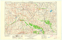
1958 · Woodward
USGS Topo · 1:250,000
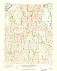
1961 · Leedey
USGS Topo · 1:62,500
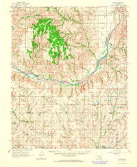
1962 · Aledo
USGS Topo · 1:62,500
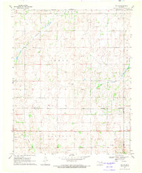
1969 · Vici NW
USGS Topo · 1:24,000
1969 · Mutual SW
USGS Topo · 1:24,000
1969 · Mutual
USGS Topo · 1:24,000
1969 · Camargo
USGS Topo · 1:24,000