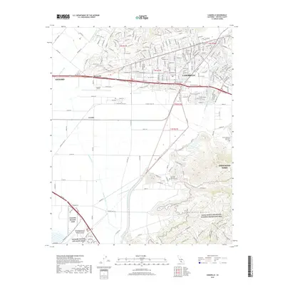
2018 Map of Camarillo
USGS Topo · Published 2018About this map
Pleasant Valley serves as the geographic heart of this Ventura County landscape, where the urban sprawl of Camarillo meets the rising slopes of the Santa Monica Mountains. The map illustrates a complex convergence of infrastructure, from the industrial and transit hubs near Camarillo Airport and Springville to the sprawling institutional footprint of St John's Seminary and California State University Channel Islands.
Find a feature on this map
215 named features on this map. Tap any name to fly to it.
Don’t see what you’re looking for? This feature index may not catch every label — zoom into the map to look around manually.
Map Details
Editions of this 2018 Camarillo Map
This is the sole edition of this map. No revisions or reprints were ever made.
Other maps of this area

1900 · Triunfo Pass
USGS Topo · 1:62,500

1900 · Piru
USGS Topo · 1:62,500

1903 · Santa Paula
USGS Topo · 1:62,500

1903 · Camulos
USGS Topo · 1:125,000

1904 · Hueneme
USGS Topo · 1:62,500

1921 · Piru
USGS Topo · 1:62,500

1921 · Triunfo Pass
USGS Topo · 1:62,500

1941 · Piru
USGS Topo · 1:62,500

1942 · Santa Paula
USGS Topo · 1:62,500

1942 · Hueneme
USGS Topo · 1:62,500