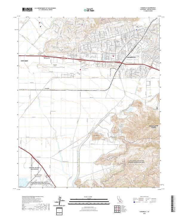
2022 Map of Camarillo
USGS Topo · Published 2022About this map
Camarillo and the surrounding Pleasant Valley anchor this Ventura County landscape, where modern suburban development meets agricultural heritage and significant institutional footprints. The area is defined by a dense network of major thoroughfares like Ventura Blvd and Mission Oaks Blvd, which facilitate the growth of Thousand Oaks and Oxnard at the margins. Significant land use is dedicated to educational and military institutions, including the campus of California State University Channel Islands and the expansive Naval Base Ventura County Point Mugu Operating Facility near the coast.
Find a feature on this map
72 named features on this map. Tap any name to fly to it.
Don’t see what you’re looking for? This feature index may not catch every label — zoom into the map to look around manually.
Map Details
Editions of this 2022 Camarillo Map
This is the sole edition of this map. No revisions or reprints were ever made.
Other maps of this area

1900 · Triunfo Pass
USGS Topo · 1:62,500

1900 · Piru
USGS Topo · 1:62,500

1903 · Santa Paula
USGS Topo · 1:62,500

1903 · Camulos
USGS Topo · 1:125,000

1904 · Hueneme
USGS Topo · 1:62,500

1921 · Piru
USGS Topo · 1:62,500

1921 · Triunfo Pass
USGS Topo · 1:62,500

1941 · Piru
USGS Topo · 1:62,500

1942 · Santa Paula
USGS Topo · 1:62,500

1942 · Hueneme
USGS Topo · 1:62,500