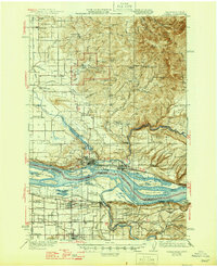
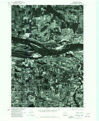
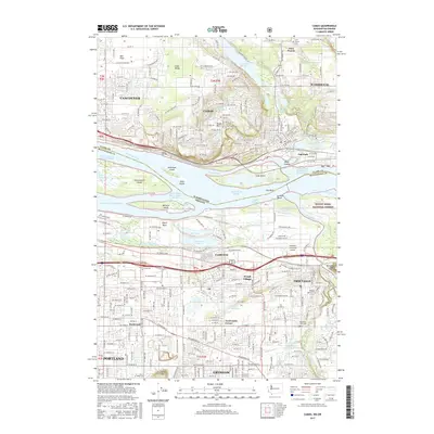
1942 Map of Camas
USGS Topo · Published 1946About this map
Camp Bonneville Military Reservation dominates the center of this landscape during the early 1940s, situated between the foothills of the Cascades and the northern banks of the Columbia River. The industrial and agricultural vitality of the region is evident in the river towns of Camas and Washougal, where the Spokane Portland and Seattle Ry follows the shoreline. This period shows a complex network of rural schools like Livingston Sch and Harmony Sch serving the surrounding prairies and hills.
Find a feature on this map
93 named features on this map. Tap any name to fly to it.
Don’t see what you’re looking for? This feature index may not catch every label — zoom into the map to look around manually.
Map Details
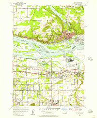
Editions of this 1942 Camas Map
2 editions found

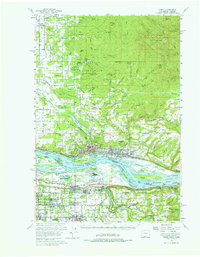
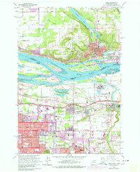
Historical Maps of Portland Through Time
12 maps found

1941 Camas
Clark County, WA
1942 Camas
Clark County, WA
1954 Camas
Clark County, WA
1954 Camas
Clark County, WA
1961 Camas
Clark County, WA
1975 Camas
Clark County, WA
1993 Camas
Clark County, WA
2011 Camas
Clark County, WA
2013 Camas
Clark County, WA
2017 Camas
Clark County, WA
2020 Camas
Clark County, WA
2023 Camas
Clark County, WA