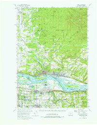
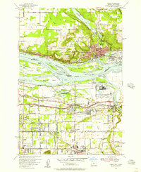
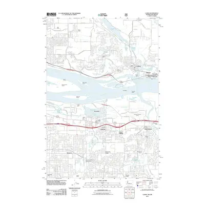
1954 Map of Camas
USGS Topo · Published 1976About this map
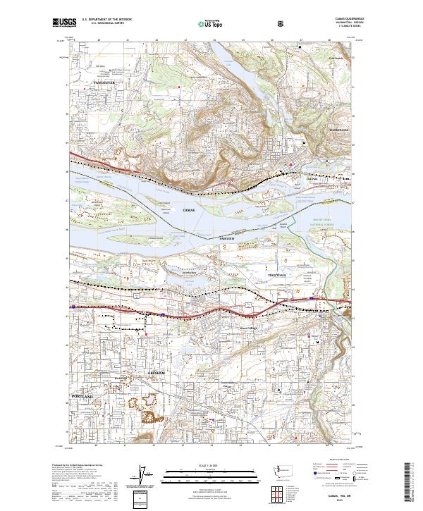
Camas and Washougal serve as industrial and residential anchors along the Washington side of the Columbia River in the mid-1950s, while Troutdale and Gresham show the burgeoning development of the Oregon side. This period reveals a landscape transitioning from rural farmsteads to suburban expansion, evidenced by the presence of several defunct rural institutions like Norway Sch (Aban'd) and Grass Valley Sch (Aban'd). The Camp Bonneville Military Reservation occupies a significant portion of the northern timberland, while the Spokane Portland and Seattle railroad follows the riverbank, mirroring the Evergreen Highway. Numerous islands such as Lady Island and Reed Island dot the Columbia River, which is defined here by industrial reaches and landmarks like Rooster Rock and Pt Vancouver, marking the historic gateway to the Columbia River Gorge.
Find a feature on this map
109 named features on this map. Tap any name to fly to it.
Don’t see what you’re looking for? This feature index may not catch every label — zoom into the map to look around manually.
Map Details
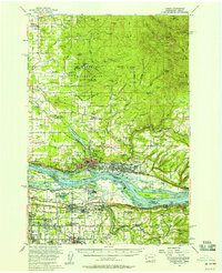
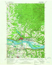
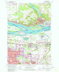
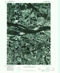
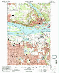
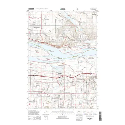
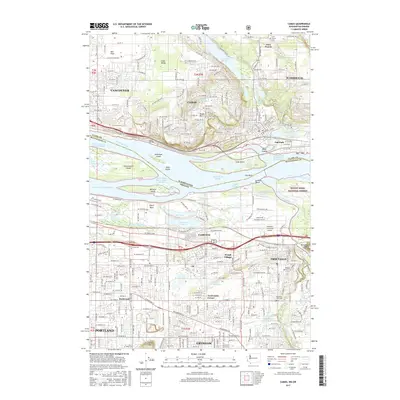
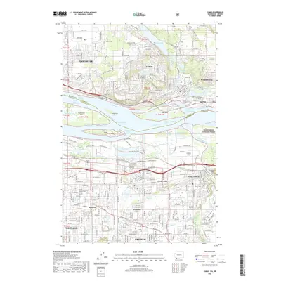
Editions of this 1954 Camas Map
Historical Maps of Portland Through Time
12 maps found

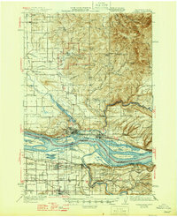
1941 Camas
Clark County, WA
1942 Camas
Clark County, WA
1954 Camas
Clark County, WA
1954 Camas
Clark County, WA
1961 Camas
Clark County, WA
1975 Camas
Clark County, WA
1993 Camas
Clark County, WA
2011 Camas
Clark County, WA
2013 Camas
Clark County, WA
2017 Camas
Clark County, WA
2020 Camas
Clark County, WA
2023 Camas
Clark County, WA